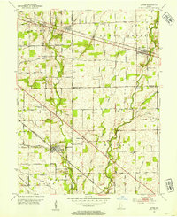
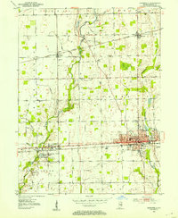
1953 Map of Acton
USGS Topo · Published 1954About this map
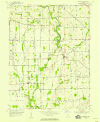
The southeastern outskirts of the Indianapolis metropolitan area are shown here as a patchwork of productive farmland and small rail-centered villages in the early 1950s. Acton and Brookfield sit along the New York Central line, while New Palestine anchors the northern reach along the Baltimore and Ohio railroad. The landscape is deeply carved by the drainage of Sugar Creek and Buck Creek, where numerous family-named landmarks and pioneer burying grounds reflect the area's 19th-century settlement roots.
Find a feature on this map
54 named features on this map. Tap any name to fly to it.
Don’t see what you’re looking for? This feature index may not catch every label — zoom into the map to look around manually.
Map Details
Editions of this 1953 Acton Map
This is the sole edition of this map. No revisions or reprints were ever made.
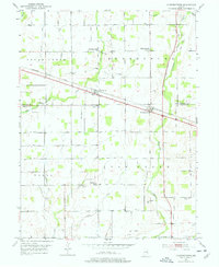
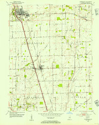
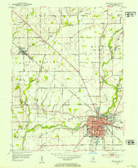
Other maps of this area
1948 · Indianapolis East
USGS Topo · 1:24,000
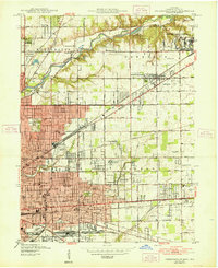
1948 · Beech Grove
USGS Topo · 1:24,000
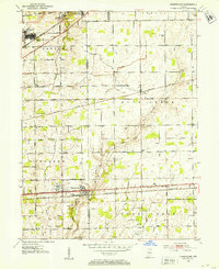
1952 · Cumberland
USGS Topo · 1:24,000
1952 · Greenfield
USGS Topo · 1:24,000
1952 · Fountaintown
USGS Topo · 1:24,000
1953 · Greenwood
USGS Topo · 1:24,000
1953 · Shelbyville
USGS Topo · 1:24,000
1953 · Boggstown
USGS Topo · 1:24,000

1953 · Cincinnati
USGS Topo · 1:250,000

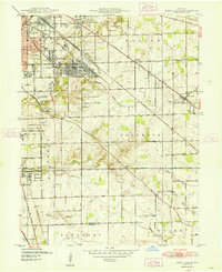
1953 · Indianapolis
USGS Topo · 1:250,000