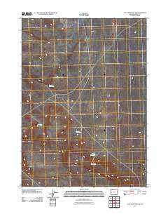
2011 Map of Acty Mountain NW
USGS Topo · Published 2011About this map
Swede Reservoir and its neighbors sit in a sparsely settled landscape of high desert drainage patterns in Harney County. This 2011 survey reveals a territory defined by careful water management, where small catchments like Butch Reservoir and Gaston Reservoir are vital points of infrastructure. The lack of named settlements emphasizes the remote, ranching-focused nature of the region. Local hydrology is further marked by the presence of Shelby Reservoir and the nearby Seep Spring, suggesting these isolated water sources are the primary landmarks for those navigating the arid terrain between unnamed ridges.
Find a feature on this map
5 named features on this map. Tap any name to fly to it.
Don’t see what you’re looking for? This feature index may not catch every label — zoom into the map to look around manually.
Map Details
Editions of this 2011 Acty Mountain NW Map
This is the sole edition of this map. No revisions or reprints were ever made.
Other maps of this area

1955 · Adel
USGS Topo · 1:250,000

1957 · Adel
USGS Topo · 1:250,000

1958 · Adel
USGS Topo · 1:250,000

1962 · Adel
USGS Topo · 1:250,000
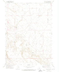
1971 · Acty Mountain NW
USGS Topo · 1:24,000

1971 · Surveyors Lake
USGS Topo · 1:24,000

1971 · Coyote Gap SE
USGS Topo · 1:24,000

1971 · Mahogany Butte
USGS Topo · 1:24,000
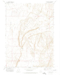
1971 · Acty Mountain NE
USGS Topo · 1:24,000
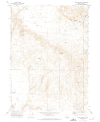
1971 · Hawks Mountain
USGS Topo · 1:24,000