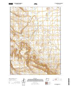
2020 Map of Acty Mountain NW
USGS Topo · Published 2020About this map
Bald Mtn stands as a prominent landmark in this high-desert portion of Harney County, overlooking a landscape defined by an intricate network of water management features. The area's reliance on seasonal moisture is evident through numerous collection points, including Gaston Reservoir, Swede Reservoir, and Shelby Reservoir. These man-made features, alongside natural occurrences like Shallow Lake and Seep Spring, suggest a history of livestock grazing and land use focused on managing scarce water resources in the Oregon outback. Transportation through the territory is marked by the Buckaroo Pass Rd and Nat For Dev Rd 6176, providing access across Butcher Flat and the surrounding basins. The map illustrates the geometric precision of the Public Land Survey System, dividing the high plateau into township and range sections that overlay the natural contours of the basin and range geography.
Find a feature on this map
18 named features on this map. Tap any name to fly to it.
Don’t see what you’re looking for? This feature index may not catch every label — zoom into the map to look around manually.
Map Details
Editions of this 2020 Acty Mountain NW Map
This is the sole edition of this map. No revisions or reprints were ever made.
Other maps of this area

1955 · Adel
USGS Topo · 1:250,000

1957 · Adel
USGS Topo · 1:250,000

1958 · Adel
USGS Topo · 1:250,000

1962 · Adel
USGS Topo · 1:250,000
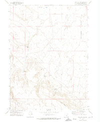
1971 · Acty Mountain NW
USGS Topo · 1:24,000

1971 · Surveyors Lake
USGS Topo · 1:24,000

1971 · Coyote Gap SE
USGS Topo · 1:24,000

1971 · Mahogany Butte
USGS Topo · 1:24,000
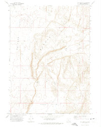
1971 · Acty Mountain NE
USGS Topo · 1:24,000
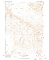
1971 · Hawks Mountain
USGS Topo · 1:24,000