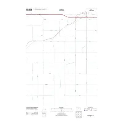
1971 Map of Adair South
USGS Topo · Published 1973About this map
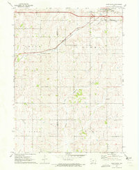
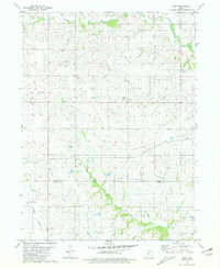
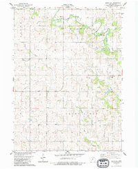
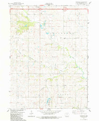
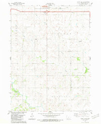
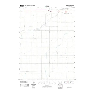
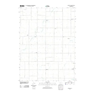
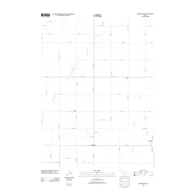
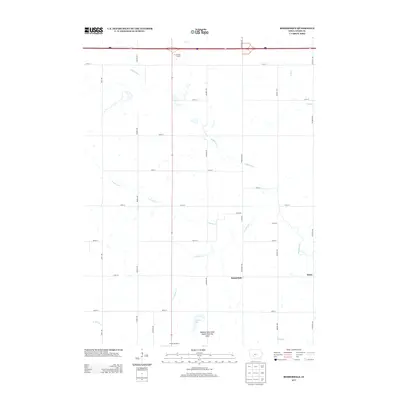
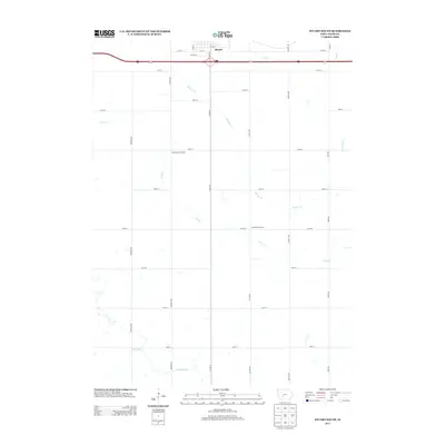
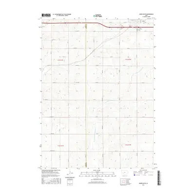
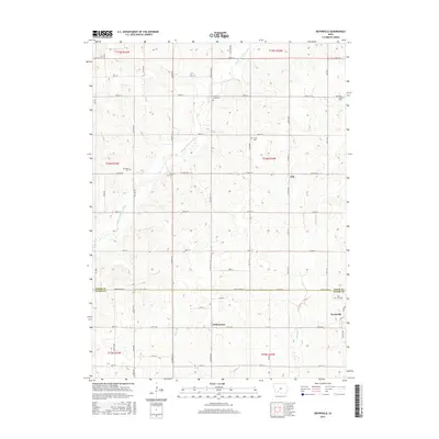
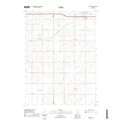
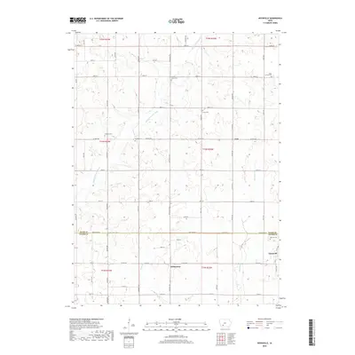
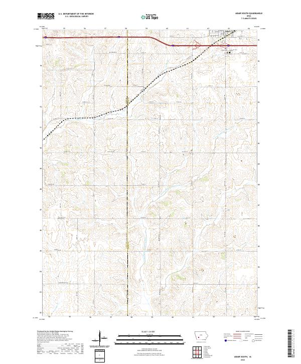
Adair serves as the primary hub of activity in this 1971 survey of the borderlands between Cass and Adair Counties. The town's northern edge is defined by the heavy infrastructure of the era, where Interstate 80 runs parallel to the Chicago Rock Island and Pacific railroad line. Local history is anchored by the St Johns and Sunny Hill cemeteries, located just east of the main corporate boundary. The landscape transitions from this developed corridor into a dense network of watercourses that drain the Iowa countryside. Headwaters and branches including Turkey Creek, Middle Fork Nodaway River, West Fork Nodaway River, and Sevenmile Creek carve through the agricultural townships of Grant, Summit, Lincoln, and Eureka, illustrating the natural drainage patterns that have historically dictated farm placement and road alignments in the region.
Find a feature on this map
15 named features on this map. Tap any name to fly to it.
Don’t see what you’re looking for? This feature index may not catch every label — zoom into the map to look around manually.
Map Details
Editions of this 1971 Adair South Map
This is the sole edition of this map. No revisions or reprints were ever made.
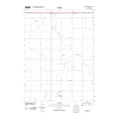
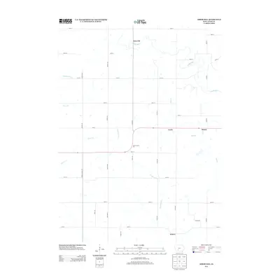
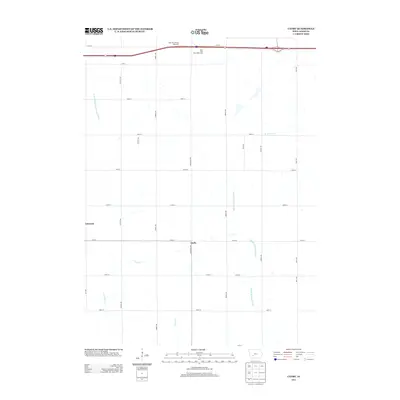
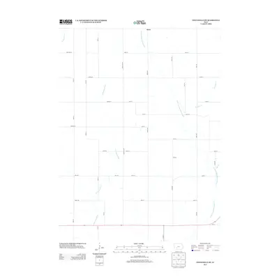
Historical Maps of Adair Through Time
48 maps found
1971 Adair South
Adair County, IA
1971 Canby
Adair County, IA
1971 Fontanelle SW
Adair County, IA
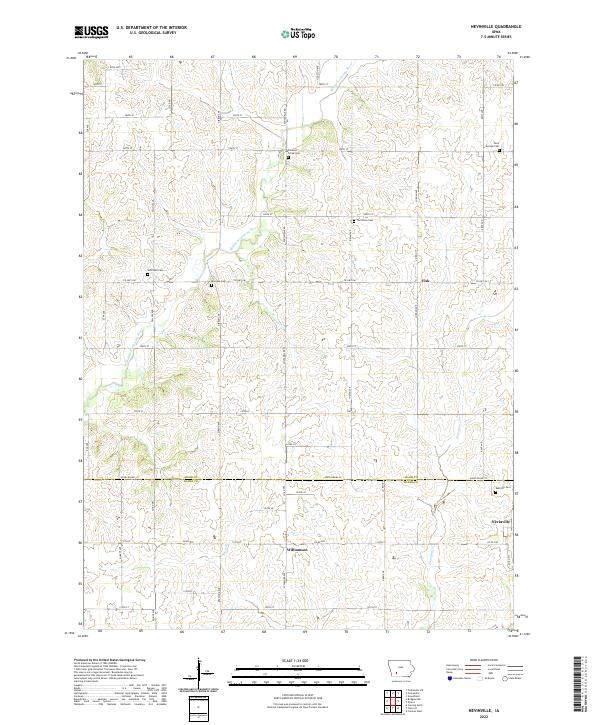
1980 Nevinville
Adair County, IA
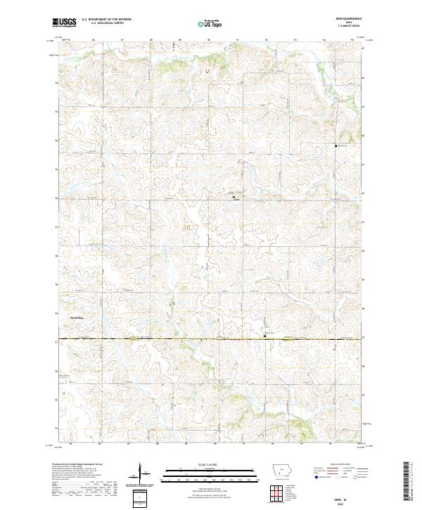
1981 Zion
Adair County, IA
1983 Arbor Hill
Adair County, IA
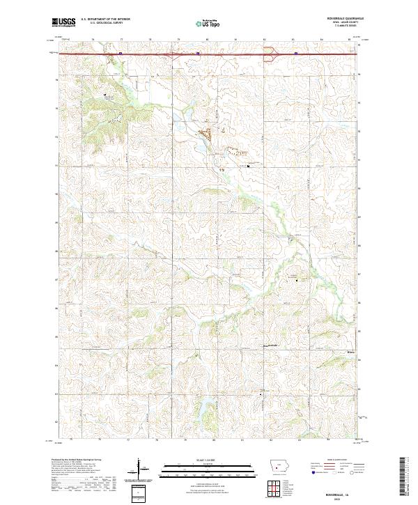
1983 Rosserdale
Adair County, IA
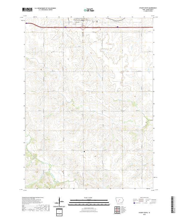
1983 Stuart South
Adair County, IA
2010 Adair South
Adair County, IA
2010 Arbor Hill
Adair County, IA
2010 Canby
Adair County, IA
2010 Fontanelle SW
Adair County, IA
2010 Nevinville
Adair County, IA
2010 Rosserdale
Adair County, IA
2010 Stuart South
Adair County, IA
2010 Zion
Adair County, IA
2013 Adair South
Adair County, IA
2013 Arbor Hill
Adair County, IA
2013 Canby
Adair County, IA
2013 Fontanelle SW
Adair County, IA
2013 Nevinville
Adair County, IA
2013 Rosserdale
Adair County, IA
2013 Stuart South
Adair County, IA
2013 Zion
Adair County, IA
2015 Adair South
Adair County, IA
2015 Arbor Hill
Adair County, IA
2015 Canby
Adair County, IA
2015 Fontanelle SW
Adair County, IA
2015 Nevinville
Adair County, IA
2015 Rosserdale
Adair County, IA
2015 Stuart South
Adair County, IA
2015 Zion
Adair County, IA
2018 Adair South
Adair County, IA
2018 Arbor Hill
Adair County, IA
2018 Canby
Adair County, IA
2018 Fontanelle SW
Adair County, IA
2018 Nevinville
Adair County, IA
2018 Rosserdale
Adair County, IA
2018 Stuart South
Adair County, IA
2018 Zion
Adair County, IA
2022 Adair South
Adair County, IA
2022 Arbor Hill
Adair County, IA
2022 Canby
Adair County, IA
2022 Fontanelle SW
Adair County, IA
2022 Nevinville
Adair County, IA
2022 Rosserdale
Adair County, IA
2022 Stuart South
Adair County, IA
2022 Zion
Adair County, IA