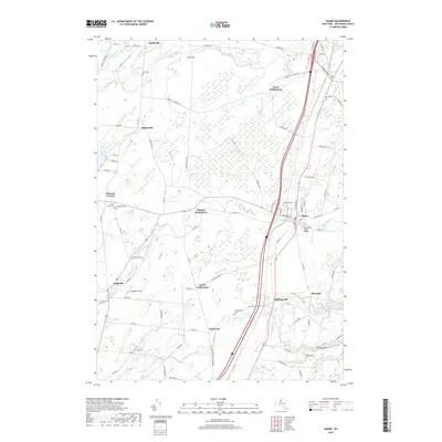
2019 Map of Adams
USGS Topo · Published 2019About this map
Adams and its surrounding Jefferson County landscape are defined by a network of historic settlements and waterways in this recent topographic study. The village remains the primary hub, where the South Park Street Bridge spans Sandy Creek near the center of town. Numerous smaller clusters of residency, such as Green Settlement, Thomas Settlement, and Taylor Settlement, dot the countryside, reflecting a decentralized pattern of early family landholdings.
Find a feature on this map
88 named features on this map. Tap any name to fly to it.
Don’t see what you’re looking for? This feature index may not catch every label — zoom into the map to look around manually.
Map Details
Editions of this 2019 Adams Map
This is the sole edition of this map. No revisions or reprints were ever made.
Other maps of this area

1893 · Sackets Harbor
USGS Topo · 1:62,500

1895 · Sacketts Harbor
USGS Topo · 1:62,500

1895 · Pulaski
USGS Topo · 1:62,500

1895 · Watertown
USGS Topo · 1:62,500

1898 · Watertown
USGS Topo · 1:62,500

1903 · Orwell
USGS Topo · 1:62,500

1905 · Orwell
USGS Topo · 1:62,500

1908 · Watertown
USGS Topo · 1:62,500

1909 · Watertown
USGS Topo · 1:62,500

1942 · Henderson Bay
USGS Topo · 1:31,680