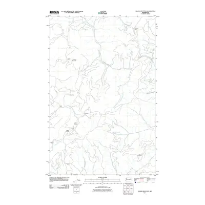
2011 Map of Adams Mountain
USGS Topo · Published 2011About this map
Mining operations define the cultural landscape of this Stevens County region, where industrial names are scattered across the high terrain. The legacy of resource extraction is evident in the cluster of sites near Turk and the namesake Adams Mountain, including the Monitor Mine, Turk Mine, and Togo Mine. Further south, the map documents the Deer Trail Mine and Germania Mine, showing how deep-seated the mining economy was in this part of Washington.
Find a feature on this map
26 named features on this map. Tap any name to fly to it.
Don’t see what you’re looking for? This feature index may not catch every label — zoom into the map to look around manually.
Map Details
Editions of this 2011 Adams Mountain Map
This is the sole edition of this map. No revisions or reprints were ever made.
Other maps of this area

1927 · Chewelah
USGS Topo · 1:125,000

1930 · Chewelah
USGS Topo · 1:125,000

1944 · Wellpinit
USGS Topo · 1:62,500

1948 · Hunters
USGS Topo · 1:62,500

1948 · Turtle Lake
USGS Topo · 1:62,500

1950 · Turtle Lake
USGS Topo · 1:62,500

1950 · Hunters
USGS Topo · 1:62,500

1953 · Wellpinit
USGS Topo · 1:62,500

1953 · Ritzville
USGS Topo · 1:250,000

1954 · Okanogan
USGS Topo · 1:250,000