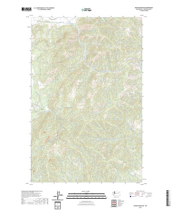
2023 Map of Adams Mountain
USGS Topo · Published 2023About this map
Turk sits at the western edge of this Stevens County landscape, where the intersection of Turk Rd and Fruitland Valley Rd marks a historic node of local activity. The terrain is defined by the significant rise of Adams Mtn and Huckleberry Mtn, forming a high divide between several prominent drainage systems. These watersheds include Hunter Creek to the north and the complex headwaters of the Chamokane system, notably Middle Fork Chamokane Creek and South Fork Chamokane Creek.
Find a feature on this map
24 named features on this map. Tap any name to fly to it.
Don’t see what you’re looking for? This feature index may not catch every label — zoom into the map to look around manually.
Map Details
Editions of this 2023 Adams Mountain Map
This is the sole edition of this map. No revisions or reprints were ever made.
Other maps of this area

1927 · Chewelah
USGS Topo · 1:125,000

1930 · Chewelah
USGS Topo · 1:125,000

1944 · Wellpinit
USGS Topo · 1:62,500

1948 · Hunters
USGS Topo · 1:62,500

1948 · Turtle Lake
USGS Topo · 1:62,500

1950 · Turtle Lake
USGS Topo · 1:62,500

1950 · Hunters
USGS Topo · 1:62,500

1953 · Wellpinit
USGS Topo · 1:62,500

1953 · Ritzville
USGS Topo · 1:250,000

1954 · Okanogan
USGS Topo · 1:250,000