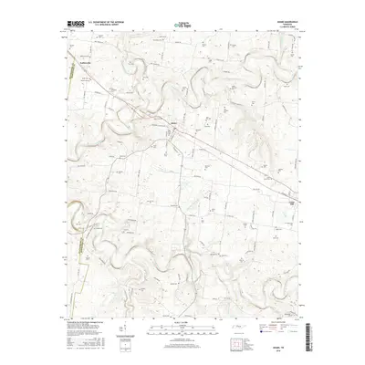
2016 Map of Adams
USGS Topo · Published 2016About this map
The Red River and Sulphur Fork Red River converge in this northern Tennessee landscape, carving deep valleys through the limestone terrain of Robertson and Montgomery counties. This area is characterized by a high density of family cemeteries, reflecting generations of land ownership and agricultural heritage in the settlements of Adams, Sadlersville, and Cedar Hill. Notable among these are the John Bell Cem and Bellwood Cem, names deeply tied to regional folklore. The network of winding country roads follows the ridges between watercourses like Elk Fork and Sturgeon Cr, connecting numerous homesteads and burial sites such as the Fort Cem and Kane-David Cem. Harper Lake and Millers Creek provide further drainage in the southern portion, where the undulating topography influences the placement of rural infrastructure and historic property boundaries.
Find a feature on this map
117 named features on this map. Tap any name to fly to it.
Don’t see what you’re looking for? This feature index may not catch every label — zoom into the map to look around manually.
Map Details
Editions of this 2016 Adams Map
This is the sole edition of this map. No revisions or reprints were ever made.
Other maps of this area

1903 · Nashville
USGS Topo · 1:125,000

1931 · Ridgetop
USGS Topo · 1:62,500

1935 · Ridgetop
USGS Topo · 1:62,500

1950 · Allensville
USGS Topo · 1:24,000

1950 · Guthrie
USGS Topo · 1:24,000

1951 · Dot
USGS Topo · 1:24,000

1952 · Springfield North
USGS Topo · 1:24,000

1956 · Nashville
USGS Topo · 1:250,000

1957 · Adams
USGS Topo · 1:24,000

1957 · Pleasant View
USGS Topo · 1:24,000