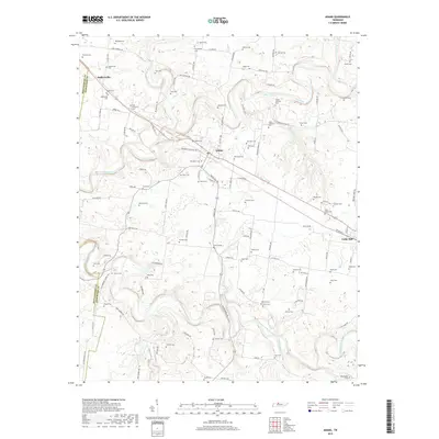
2019 Map of Adams
USGS Topo · Published 2019About this map
Red River and the Sulphur Fork Red River define the winding valley landscape of northern Robertson County, where the historic settlement of Adams sits near the confluence of major drainage systems. This 2019 survey documents a region steeped in local lore and family history, evidenced by an exceptionally dense concentration of family cemeteries. Notable sites including Bellwood Cem, John Bell Cem, and Bell Cem speak to the deep ancestral roots of the area, particularly the Bell family whose history is central to Tennessee legend. Smaller communities like Sadlersville and Cedar Hill serve as anchors along the transport corridor, while Elk Fork and Millers Creek drain the surrounding uplands. The layout of the road network, including Port Royal Rd and Old State Rte 11, follows the natural contours of the river bends, preserving a rural settlement pattern where agriculture and genealogy remain closely intertwined.
Find a feature on this map
119 named features on this map. Tap any name to fly to it.
Don’t see what you’re looking for? This feature index may not catch every label — zoom into the map to look around manually.
Map Details
Editions of this 2019 Adams Map
This is the sole edition of this map. No revisions or reprints were ever made.
Other maps of this area

1903 · Nashville
USGS Topo · 1:125,000

1931 · Ridgetop
USGS Topo · 1:62,500

1935 · Ridgetop
USGS Topo · 1:62,500

1950 · Allensville
USGS Topo · 1:24,000

1950 · Guthrie
USGS Topo · 1:24,000

1951 · Dot
USGS Topo · 1:24,000

1952 · Springfield North
USGS Topo · 1:24,000

1956 · Nashville
USGS Topo · 1:250,000

1957 · Adams
USGS Topo · 1:24,000

1957 · Pleasant View
USGS Topo · 1:24,000