2022 Map of Adamson
USGS Topo · Published 2022About this map
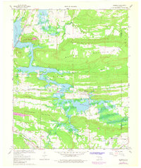
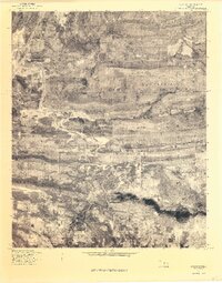
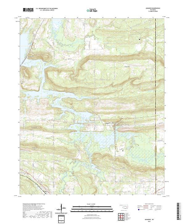
Adamson and Dow anchor this landscape along the Pittsburg Co Latimer Co border, where the terrain is defined by a series of prominent ridges and the extensive reach of Eufaula Lake. High points such as Pocahontas Mtn and Fish Trap Mtn rise sharply above the southern marshlands, while Buffalo Mtn and Cyclone Mtn dominate the northern portion of the quadrangle. The map is a vital resource for local history, documenting several dispersed burial grounds including Adamson Cem, Cole Chapel Cem, Courts Cem, and Kemp Cem. The hydrography is particularly complex, as Gaines Creek and Brushy Creek feed into the lake's southern arms, creating a network of wetlands and inlets. Numerous local roads, such as Buffalo Mountain Rd and Lloyd White Rd, provide a detailed view of the rural settlement patterns throughout this corner of the state.
Find a feature on this map
67 named features on this map. Tap any name to fly to it.
Don’t see what you’re looking for? This feature index may not catch every label — zoom into the map to look around manually.
Map Details
Editions of this 2022 Adamson Map
This is the sole edition of this map. No revisions or reprints were ever made.
Historical Maps of Adamson Through Time
3 maps found