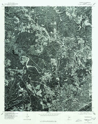
1975 Map of Adamsville
USGS Topo · Published 1977About this map
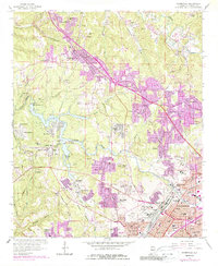
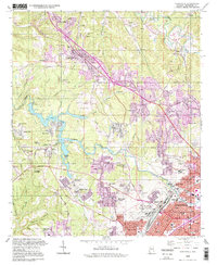
Birmingham and Adamsville appear as they did in the mid-1970s in this orthophotoquad. Produced in cooperation with the Soil Conservation Service, this aerial imagery offers a stark look at the urban and suburban expansion of Jefferson County. The high-contrast photography reveals the dense grid of downtown Birmingham in the southeast corner, contrasting sharply with the winding roads and cleared patches of land in Adamsville. The imagery is particularly useful for observing mid-century land use, showing the transition from industrial and urban centers to the more scattered residential developments and wooded tracts that defined the region's geography during this era.
Find a feature on this map
2 named features on this map. Tap any name to fly to it.
Don’t see what you’re looking for? This feature index may not catch every label — zoom into the map to look around manually.
Map Details
Editions of this 1975 Adamsville Map
This is the sole edition of this map. No revisions or reprints were ever made.
Historical Maps of Birmingham Through Time
8 maps found