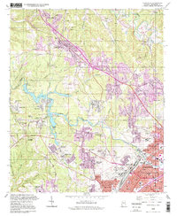
1993 Map of Adamsville
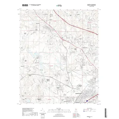
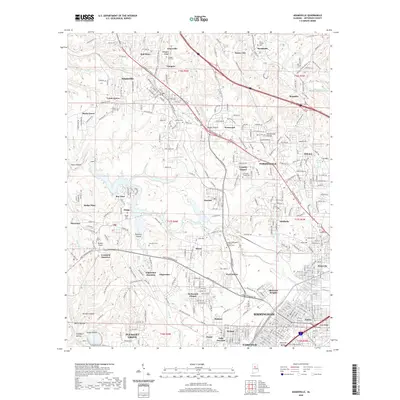
USGS Topo · Published 1998About this map
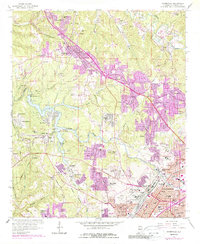
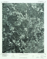
Mulga Mine and the industrial corridors of the Southern Railway define the landscape north of Birmingham during the late twentieth century. This map reveals a complex interplay between residential growth and the region's mining heritage, centered around settlements like Adamsville and Graysville. The presence of the Birmingham Southern RR and multiple rail junctions such as Crockard Junction and Edgewater Junction illustrates the legacy of the local iron and coal economy. Small community landmarks, including Bivens Chapel, Union Grove Ch, and St Johns Ch, are scattered among family-named terrain features like Glasgow Hill. The impounded waters of Bayview Lake on Village Creek provide a distinctive geographic focal point, contrasting with the dense street grids of Ensley and Pratt City in the southeast corner. Cultural artifacts of the era, such as a Drive-in Theater near Westwood, appear alongside established institutions like the George Washington Memorial Gardens Cemetery.
Find a feature on this map
80 named features on this map. Tap any name to fly to it.
Don’t see what you’re looking for? This feature index may not catch every label — zoom into the map to look around manually.
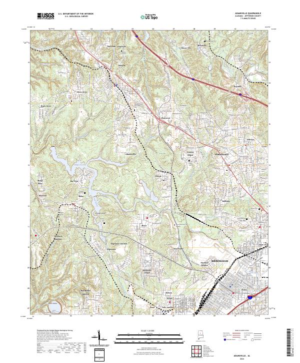
Map Details
Editions of this 1993 Adamsville Map
This is the sole edition of this map. No revisions or reprints were ever made.
Historical Maps of Birmingham Through Time
8 maps found