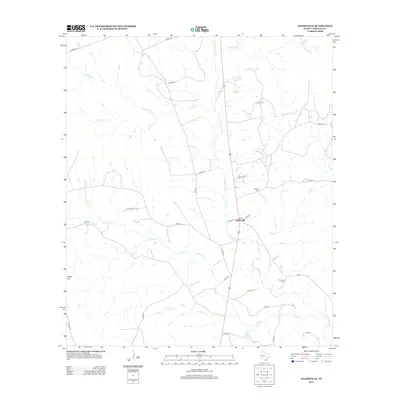
2012 Map of Adamsville
USGS Topo · Published 2012About this map
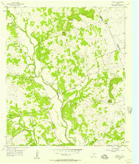
The Lampasas River forms the central spine of this landscape, carving a northward path through rural Lampasas County. The small community of Adamsville sits at a crossroads along the river valley, where local routes like FM-581 and Co RD-100 connect isolated ranchlands. The terrain is defined by a dense network of seasonal drainages, including Kinchelo Cr, Simms Cr, and Indian Cr, which feed into the main river system.
Find a feature on this map
37 named features on this map. Tap any name to fly to it.
Don’t see what you’re looking for? This feature index may not catch every label — zoom into the map to look around manually.
Map Details
Editions of this 2012 Adamsville Map
This is the sole edition of this map. No revisions or reprints were ever made.
Other maps of this area

1887 · Lampasas
USGS Topo · 1:125,000

1894 · Lampasas
USGS Topo · 1:125,000

1954 · Brownwood
USGS Topo · 1:250,000

1954 · Evant
USGS Topo · 1:62,500

1954 · Lampasas
USGS Topo · 1:62,500

1954 · Evant
USGS Topo · 1:24,000
1954 · Izoro
USGS Topo · 1:24,000
1954 · Flat Top Peak
USGS Topo · 1:24,000
1954 · Pearl
USGS Topo · 1:24,000
1954 · Rumley
USGS Topo · 1:24,000