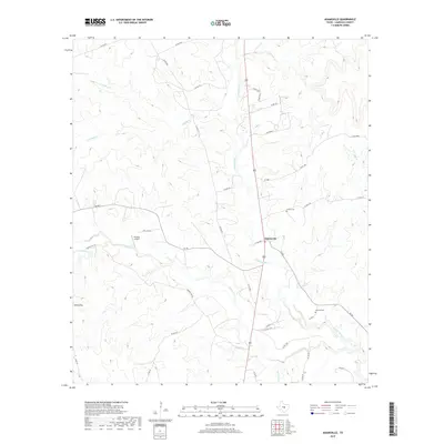
2019 Map of Adamsville
USGS Topo · Published 2019About this map
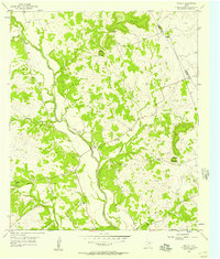
Adamsville serves as the central hub of this Lampasas County landscape, situated where the Lampasas River and Simms Cr converge. The terrain is defined by a dense network of seasonal drainages including N Turkey Cr, S Turkey Cr, and Kinchelo Cr, which carve through the limestone-rich topography typical of Central Texas. A distinct local landmark, Onion Top, rises in the southwest, while the presence of Postoak Airport and various private ranch roads like Race Ranch reflect the area's rural aviation and agricultural character.
Find a feature on this map
45 named features on this map. Tap any name to fly to it.
Don’t see what you’re looking for? This feature index may not catch every label — zoom into the map to look around manually.
Map Details
Editions of this 2019 Adamsville Map
This is the sole edition of this map. No revisions or reprints were ever made.
Other maps of this area

1887 · Lampasas
USGS Topo · 1:125,000

1894 · Lampasas
USGS Topo · 1:125,000

1954 · Brownwood
USGS Topo · 1:250,000

1954 · Evant
USGS Topo · 1:62,500

1954 · Lampasas
USGS Topo · 1:62,500

1954 · Evant
USGS Topo · 1:24,000
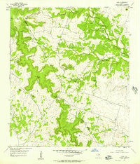
1954 · Izoro
USGS Topo · 1:24,000
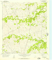
1954 · Flat Top Peak
USGS Topo · 1:24,000
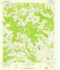
1954 · Pearl
USGS Topo · 1:24,000
1954 · Rumley
USGS Topo · 1:24,000