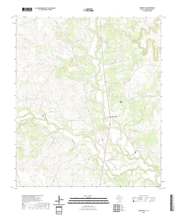
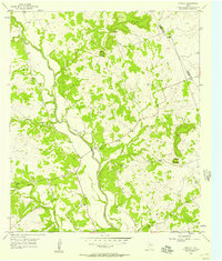
2022 Map of Adamsville
USGS Topo · Published 2022About this map
Adamsville sits at the heart of this Central Texas landscape, where the Lampasas River and its numerous tributaries have carved a complex network of valleys and ridges. The terrain is marked by distinctive elevations such as Onion Top and the drainage basins of North Turkey Creek and Simms Cr. This area of Lampasas County maintains a traditional rural character, evidenced by the scattered family burial grounds of Straley Cem and Townsen Cem which serve as focal points for genealogical research.
Find a feature on this map
46 named features on this map. Tap any name to fly to it.
Don’t see what you’re looking for? This feature index may not catch every label — zoom into the map to look around manually.
Map Details
Editions of this 2022 Adamsville Map
This is the sole edition of this map. No revisions or reprints were ever made.
Other maps of this area

1887 · Lampasas
USGS Topo · 1:125,000

1894 · Lampasas
USGS Topo · 1:125,000

1954 · Brownwood
USGS Topo · 1:250,000

1954 · Evant
USGS Topo · 1:62,500

1954 · Lampasas
USGS Topo · 1:62,500

1954 · Evant
USGS Topo · 1:24,000
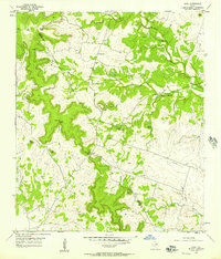
1954 · Izoro
USGS Topo · 1:24,000
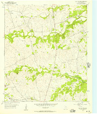
1954 · Flat Top Peak
USGS Topo · 1:24,000
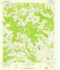
1954 · Pearl
USGS Topo · 1:24,000
1954 · Rumley
USGS Topo · 1:24,000