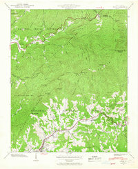
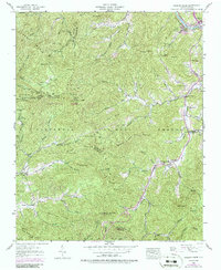
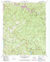
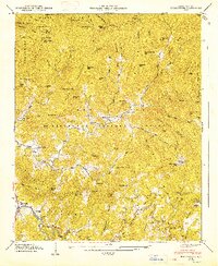
1941 Map of Addie
USGS Topo · Published 1941This historical map portrays the area of Addie in 1941, primarily covering Jackson County as well as portions of Haywood County. Featuring a scale of 1:24000, this map provides a highly detailed snapshot of the terrain, roads, buildings, counties, and historical landmarks in the Addie region at the time. Published in 1941, it is one of 2 known editions of this map due to revisions or reprints.
Find a feature on this map
102 named features on this map. Tap any name to fly to it.
Don’t see what you’re looking for? This feature index may not catch every label — zoom into the map to look around manually.
Map Details
Editions of this 1941 Addie Map
2 editions found
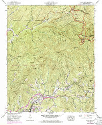
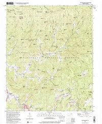
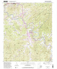
Historical Maps of Addie Through Time
19 maps found

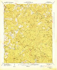
1891 Cowee
Jackson County, NC
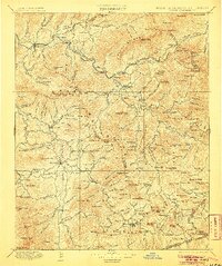
1897 Cowee
Jackson County, NC
1907 Cowee
Jackson County, NC

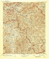
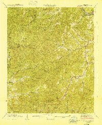
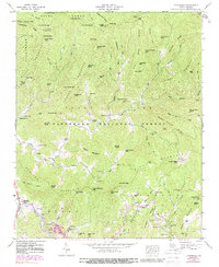
1935 Addie
Jackson County, NC
1935 Big Ridge
Jackson County, NC

1935 Tuckaseigee
Jackson County, NC

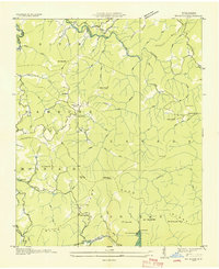
1936 Greens Creek
Jackson County, NC
1940 Greens Creek
Jackson County, NC
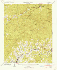
1941 Addie
Jackson County, NC
1941 Greens Creek
Jackson County, NC
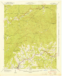
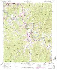
1942 Addie
Jackson County, NC
1946 Big Ridge
Jackson County, NC
1946 Sylva South
Jackson County, NC
1946 Tuckasegee
Jackson County, NC
1947 Big Ridge
Jackson County, NC
1947 Tuckasegee
Jackson County, NC
1967 Sylva North
Jackson County, NC
1997 Tuckasegee
Jackson County, NC
2000 Sylva South
Jackson County, NC