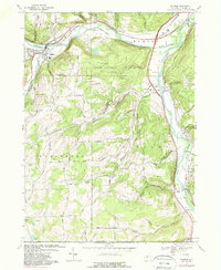
1969 Map of Addison
USGS Topo · Published 1988About this map
The Canisteo River and Tioga River converge in this corner of the Southern Tier, defining a landscape shaped by narrow valleys and significant transport corridors. The village of Addison serves as a focal point in the northwest, situated near the confluence of Tuscarora Creek, while the settlements of Erwins, Presho, and Lindley track the eastern riverbanks. Transportation is a dominant theme here, with the Erie-Lackawanna and Penn Central railroads threading through the valleys alongside rural routes like Vastbinder Road and Presho Road.
Find a feature on this map
65 named features on this map. Tap any name to fly to it.
Don’t see what you’re looking for? This feature index may not catch every label — zoom into the map to look around manually.
Map Details
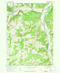
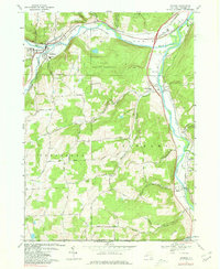
Editions of this 1969 Addison Map
3 editions found
Other maps of this area

1900 · Tioga
USGS Topo · 1:62,500

1900 · Elkland
USGS Topo · 1:62,500

1902 · Tioga
USGS Topo · 1:62,500

1914 · Corning
USGS Topo · 1:62,500

1924 · Woodhull
USGS Topo · 1:48,000

1926 · Woodhull
USGS Topo · 1:62,500

1944 · Woodhull
USGS Topo · 1:62,500

1944 · Corning
USGS Topo · 1:62,500

1950 · Elmira
USGS Topo · 1:250,000

1953 · Campbell
USGS Topo · 1:24,000