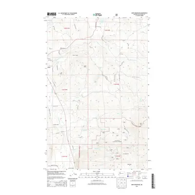
2014 Map of Addy Mountain
USGS Topo · Published 2014About this map
The Colville River and the fertile Colville Valley dominate the western portion of this Stevens County landscape, where the small settlement of Arden is situated along the Us-395 corridor. Much of the eastern terrain is defined by the high elevations of the Colville National Forest, featuring landmarks like Addy Mountain and the Iron Mountains. A complex network of drainage systems, including the Little Pond Oreille River, Twelvemile Creek, and Slide Creek, carves through the forested slopes. The map traces the historical path of the Old Timer's Horse Trail as it winds through the mountains, while the lower valleys show established rural infrastructure near Sherwood and the small locality of Narcisse. From the prominent peak of Castle Rock to the deep cut of Foster Canyon, the geography illustrates the transition between productive valley bottoms and protected forest uplands in northeastern Washington.
Find a feature on this map
56 named features on this map. Tap any name to fly to it.
Don’t see what you’re looking for? This feature index may not catch every label — zoom into the map to look around manually.
Map Details
Editions of this 2014 Addy Mountain Map
This is the sole edition of this map. No revisions or reprints were ever made.
Other maps of this area

1927 · Chewelah
USGS Topo · 1:125,000

1929 · Colville
USGS Topo · 1:125,000

1930 · Chewelah
USGS Topo · 1:125,000

1933 · Colville
USGS Topo · 1:125,000

1952 · White Mud Lake
USGS Topo · 1:24,000

1952 · Colville
USGS Topo · 1:24,000

1958 · Sandpoint
USGS Topo · 1:250,000

1963 · Sandpoint
USGS Topo · 1:250,000

1964 · Chewelah
USGS Topo · 1:24,000

1964 · Cliff Ridge
USGS Topo · 1:24,000