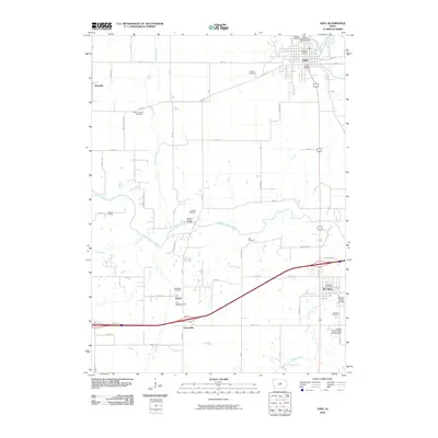
2010 Map of Adel
USGS Topo · Published 2010About this map
Adel and its surrounding river valleys define this Dallas County landscape, where the North Raccoon River and South Raccoon River converge. This period shows a transition from the agricultural heartland toward modern recreational and transportation uses, with established settlements like De Soto and Kennedy connected by an evolving road network. The map reveals a dense concentration of local heritage sites, particularly numerous cemeteries such as Oakdale Cemetery, Gibson Cemetery, and Panther Creek Cemetery, which serve as vital markers for genealogical research in the region.
Find a feature on this map
44 named features on this map. Tap any name to fly to it.
Don’t see what you’re looking for? This feature index may not catch every label — zoom into the map to look around manually.
Map Details
Editions of this 2010 Adel Map
This is the sole edition of this map. No revisions or reprints were ever made.
Other maps of this area

1908 · Waukee
USGS Topo · 1:62,500

1949 · Adel
USGS Topo · 1:62,500

1951 · Adel
USGS Topo · 1:62,500

1951 · St. Charles
USGS Topo · 1:62,500

1952 · Winterset
USGS Topo · 1:62,500

1954 · Omaha
USGS Topo · 1:250,000

1954 · Des Moines
USGS Topo · 1:250,000

1956 · Des Moines
USGS Topo · 1:250,000

1957 · Des Moines
USGS Topo · 1:250,000

1957 · Omaha
USGS Topo · 1:250,000