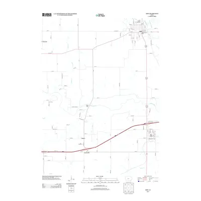
2013 Map of Adel
USGS Topo · Published 2013About this map
The N Raccoon River and S Raccoon River converge within this Dallas County landscape, defining the local geography around the county seat of Adel. The city's street grid, including historic routes like Main St and Greene St, extends toward the riverbank near the Adel Bridge. To the south, the community of De Soto sits along the interstate corridor, marked by the De Soto Airport and the crossing at Bulger Creek Bridge. Between these population centers, the terrain is shaped by active land use and recreation, featuring a large industrial Quarry, the KOA Kampgrounds, and a Church Camp along the wooded bends of Panther Cr. The map also captures smaller named localities like Garretville and Kennedy, preserving the late-twentieth-century rural and suburban transition of central Iowa.
Find a feature on this map
107 named features on this map. Tap any name to fly to it.
Don’t see what you’re looking for? This feature index may not catch every label — zoom into the map to look around manually.
Map Details
Editions of this 2013 Adel Map
This is the sole edition of this map. No revisions or reprints were ever made.
Other maps of this area

1908 · Waukee
USGS Topo · 1:62,500

1949 · Adel
USGS Topo · 1:62,500

1951 · Adel
USGS Topo · 1:62,500

1951 · St. Charles
USGS Topo · 1:62,500

1952 · Winterset
USGS Topo · 1:62,500

1954 · Omaha
USGS Topo · 1:250,000

1954 · Des Moines
USGS Topo · 1:250,000

1956 · Des Moines
USGS Topo · 1:250,000

1957 · Des Moines
USGS Topo · 1:250,000

1957 · Omaha
USGS Topo · 1:250,000