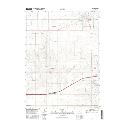
2015 Map of Adel
USGS Topo · Published 2015About this map
Adel and the surrounding Dallas County landscape are defined by the convergence of the North Raccoon River and the South Raccoon River, creating a distinctive riverine corridor through central Iowa. This 2015 study details the local transportation network, from the historic Adel Bridge and city streets like Main St to the modern passage of Interstate 80 near Garretville. Genealogists will find a wealth of local landmarks, including several family and community burial grounds such as Oakland Cem, Ellis Cem, and Panther Creek Cem. The settlement at De Soto anchors the southeastern corner near the De Soto Airport, while smaller named locales like Kennedy appear along the northern boundary. The map illustrates a transitional landscape where residential development meets the fertile drainage basins of Panther Cr and Coal Cr.
Find a feature on this map
107 named features on this map. Tap any name to fly to it.
Don’t see what you’re looking for? This feature index may not catch every label — zoom into the map to look around manually.
Map Details
Editions of this 2015 Adel Map
This is the sole edition of this map. No revisions or reprints were ever made.
Other maps of this area

1908 · Waukee
USGS Topo · 1:62,500

1949 · Adel
USGS Topo · 1:62,500

1951 · Adel
USGS Topo · 1:62,500

1951 · St. Charles
USGS Topo · 1:62,500

1952 · Winterset
USGS Topo · 1:62,500

1954 · Omaha
USGS Topo · 1:250,000

1954 · Des Moines
USGS Topo · 1:250,000

1956 · Des Moines
USGS Topo · 1:250,000

1957 · Des Moines
USGS Topo · 1:250,000

1957 · Omaha
USGS Topo · 1:250,000