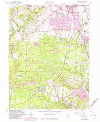
1957 Map of Adelphia
USGS Topo · Published 1982About this map
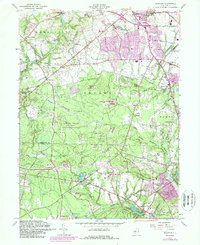
The town of Freehold serves as a focal point for this mid-century survey of Monmouth and Ocean Counties, capturing a landscape in transition as suburban expansion begins to brush against long-standing milling and agricultural sites. Numerous historic hamlets are documented, including West Freehold, Adelphia, and Smithburg, alongside several namesake milling locations such as Wyckoff Mills, Oakland Mills, and Bennetts Mills. These settlements reflect the region's industrial heritage centered on the many waterways that crisscross the area, notably the North Branch Metedeconk River and Manalapan Brook.
Find a feature on this map
48 named features on this map. Tap any name to fly to it.
Don’t see what you’re looking for? This feature index may not catch every label — zoom into the map to look around manually.
Map Details
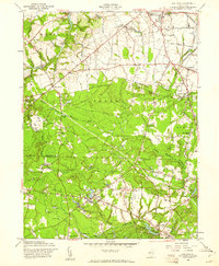
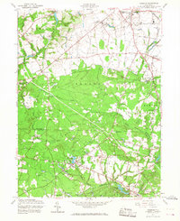
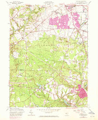
Editions of this 1957 Adelphia Map
5 editions found
Other maps of this area

1888 · New Brunswick
USGS Topo · 1:62,500

1888 · Asbury Park
USGS Topo · 1:62,500

1888 · Cassville
USGS Topo · 1:62,500

1888 · Sandy Hook
USGS Topo · 1:62,500

1893 · New Brunswick
USGS Topo · 1:62,500

1893 · Sandy Hook
USGS Topo · 1:62,500

1893 · Asbury Park
USGS Topo · 1:62,500

1894 · Cassville
USGS Topo · 1:62,500

1900 · Cassville
USGS Topo · 1:62,500

1901 · New Brunswick
USGS Topo · 1:62,500