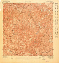
1947 Map of Adjuntas NE
USGS Topo · Published 1947About this map
The interior highlands of Utuado and Jayuya are meticulously detailed in this survey by the Departamento del Interior, based on topography from 1943. The landscape is defined by its agricultural legacy, specifically the presence of Hacienda Esperanza and Hacienda La Esperanza, which anchor the local terrain. These haciendas represent the traditional economic centers of the Puerto Rican coffee and sugar regions during the mid-twentieth century. Near the center of the sheet, the Iglesia de la Concepción Inmaculada stands as a focal point for the surrounding rural community.
Find a feature on this map
12 named features on this map. Tap any name to fly to it.
Don’t see what you’re looking for? This feature index may not catch every label — zoom into the map to look around manually.
Map Details
Editions of this 1947 Adjuntas NE Map
This is the sole edition of this map. No revisions or reprints were ever made.
Other maps of this area

1946 · Utuado
USGS Topo · 1:30,000

1946 · Jayuya
USGS Topo · 1:30,000

1946 · Florida
USGS Topo · 1:30,000

1946 · Adjuntas
USGS Topo · 1:30,000
1947 · Utuado SE
USGS Topo · 1:10,000
1947 · Adjuntas NO
USGS Topo · 1:10,000
1947 · Adjuntas SO
USGS Topo · 1:10,000
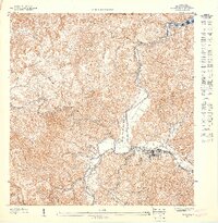
1947 · Utuado SO
USGS Topo · 1:10,000
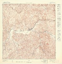
1947 · Jayuya NO
USGS Topo · 1:10,000
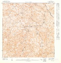
1947 · Florida SO
USGS Topo · 1:10,000