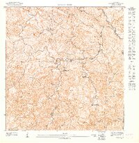
1947 Map of Florida SO
USGS Topo · Published 1947About this map
Agricultural haciendas dominate this mountainous region of central Puerto Rico, reflecting the coffee and sugar plantation systems of the mid-1940s. The landscape is defined by steep ridges and deep valleys, where the Río de Utuado and Río Grande de Jayuya converge. Scattered among the peaks of Cerro Magoyo and Cerro Palo de Ceiba are several prominent estates, including Hacienda Marqués, Hacienda Limón, and Hacienda La Catalana.
Find a feature on this map
19 named features on this map. Tap any name to fly to it.
Don’t see what you’re looking for? This feature index may not catch every label — zoom into the map to look around manually.
Map Details
Editions of this 1947 Florida SO Map
This is the sole edition of this map. No revisions or reprints were ever made.
Other maps of this area

1943 · Utuado NE
USGS Topo · 1:10,000

1946 · Utuado
USGS Topo · 1:30,000

1946 · Jayuya
USGS Topo · 1:30,000

1946 · Florida
USGS Topo · 1:30,000

1946 · Adjuntas
USGS Topo · 1:30,000
1947 · Utuado SE
USGS Topo · 1:10,000
1947 · Florida NO
USGS Topo · 1:10,000
1947 · Jayuya NE
USGS Topo · 1:10,000
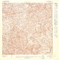
1947 · Florida SE
USGS Topo · 1:10,000
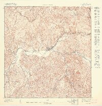
1947 · Jayuya NO
USGS Topo · 1:10,000