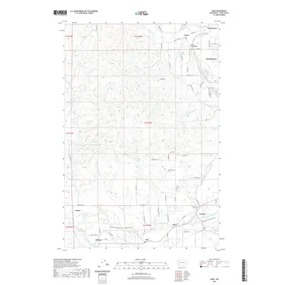
2020 Map of Adna
USGS Topo · Published 2020About this map
The Chehalis River winds through this section of Lewis County, where the historic settlements of Adna, Claquato, and Littell sit along its southern banks. The landscape is defined by the river’s floodplain and the rising timbered slopes of Cook Hill, while the Willapa Hills State Park Trail follows an old rail alignment through Millburn and Bunker. Genealogists and local historians will find the Claquato Cem located near the eastern edge of the survey, a significant landmark in one of the county's oldest pioneered areas.
Find a feature on this map
79 named features on this map. Tap any name to fly to it.
Don’t see what you’re looking for? This feature index may not catch every label — zoom into the map to look around manually.
Map Details
Editions of this 2020 Adna Map
This is the sole edition of this map. No revisions or reprints were ever made.
Other maps of this area

1916 · Chehalis
USGS Topo · 1:125,000

1940 · Tenino
USGS Topo · 1:62,500

1941 · Meskill
USGS Topo · 1:62,500

1941 · Gate
USGS Topo · 1:62,500

1944 · Tenino
USGS Topo · 1:62,500

1949 · Tenino
USGS Topo · 1:62,500

1953 · Hoquiam
USGS Topo · 1:250,000

1953 · Rochester
USGS Topo · 1:62,500

1953 · Adna
USGS Topo · 1:62,500

1954 · Centralia
USGS Topo · 1:62,500