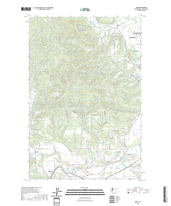
2023 Map of Adna
USGS Topo · Published 2023About this map
Lincoln Creek Valley defines the northern reaches of this Lewis County landscape, where the Lincoln Creek meanders toward the settlement of Galvin. Further south, the Chehalis River carves a broad path through a corridor of small communities including Adna, Littell, and Millburn. The terrain transitions from the low-lying river valley to the elevated heights of Cook Hill and the residential expansion of Centralia near Fords Prairie.
Find a feature on this map
82 named features on this map. Tap any name to fly to it.
Don’t see what you’re looking for? This feature index may not catch every label — zoom into the map to look around manually.
Map Details
Editions of this 2023 Adna Map
This is the sole edition of this map. No revisions or reprints were ever made.
Other maps of this area

1916 · Chehalis
USGS Topo · 1:125,000

1940 · Tenino
USGS Topo · 1:62,500

1941 · Meskill
USGS Topo · 1:62,500

1941 · Gate
USGS Topo · 1:62,500

1944 · Tenino
USGS Topo · 1:62,500

1949 · Tenino
USGS Topo · 1:62,500

1953 · Hoquiam
USGS Topo · 1:250,000

1953 · Rochester
USGS Topo · 1:62,500

1953 · Adna
USGS Topo · 1:62,500

1954 · Centralia
USGS Topo · 1:62,500