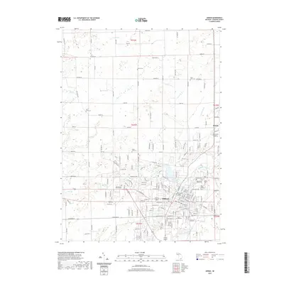
2019 Map of Adrian
USGS Topo · Published 2019About this map
The S Br River Raisin meanders through the heart of Adrian, anchoring a landscape defined by significant educational and civic institutions. This 2019 survey captures the developed core of Lenawee County, highlighting the campuses of Adrian College and Siena Heights University, along with the Rex B Martin Judicial Building. The surrounding terrain is notably marked by numerous historic burial sites, including the Raisin Valley Orthodox Friends Cem and the Saint Joseph's Catholic Cem, which provide essential touchpoints for genealogical research. North of the city, the land transitions into a network of agricultural plots and drainage systems like Slater Cr and Harkness Drain. The small settlement of Birdsall sits at a junction on the eastern edge, while the winding course of Wolf Cr feeds into the river system, illustrating the area's complex hydrography.
Find a feature on this map
179 named features on this map. Tap any name to fly to it.
Don’t see what you’re looking for? This feature index may not catch every label — zoom into the map to look around manually.
Map Details
Editions of this 2019 Adrian Map
This is the sole edition of this map. No revisions or reprints were ever made.
Other maps of this area

1904 · Ann Arbor
USGS Topo · 1:125,000

1906 · Saline
USGS Topo · 1:62,500

1908 · Ann Arbor
USGS Topo · 1:125,000

1939 · Blissfield
USGS Topo · 1:62,500

1941 · Blissfield
USGS Topo · 1:62,500

1948 · Manchester
USGS Topo · 1:62,500

1949 · Manchester
USGS Topo · 1:62,500

1953 · Fort Wayne
USGS Topo · 1:250,000

1954 · Detroit
USGS Topo · 1:250,000

1956 · Fort Wayne
USGS Topo · 1:250,000