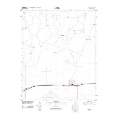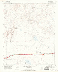
1966 Map of Adrian
USGS Topo · Published 1969About this map
The Adrian townsite sits atop the flat High Plains of the Texas Panhandle, positioned as a key stop along the Chicago Rock Island and Pacific railroad. In the mid-1960s, this landscape was defined by its cattle ranching infrastructure and the dramatic transition from the southern plains into the broken breaks of the Canadian River valley to the north. Essential water sources for livestock are mapped in detail, ranging from the Randall Lake basin to numerous family-named landmarks like Wimberly Place and Polar Bear Camp.
Find a feature on this map
34 named features on this map. Tap any name to fly to it.
Don’t see what you’re looking for? This feature index may not catch every label — zoom into the map to look around manually.
Map Details
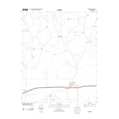
Editions of this 1966 Adrian Map
This is the sole edition of this map. No revisions or reprints were ever made.
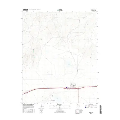
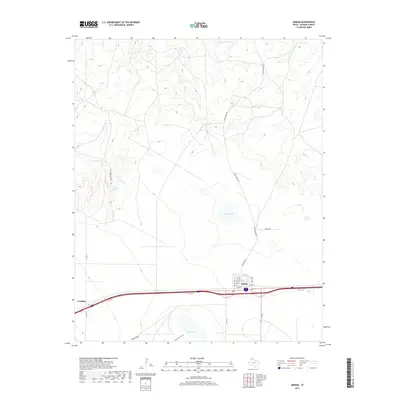
Historical Maps of Adrian Through Time
6 maps found