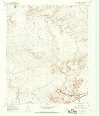
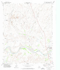
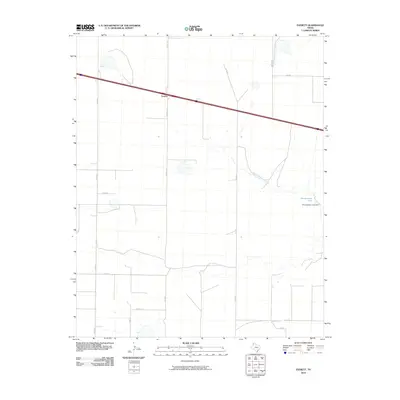
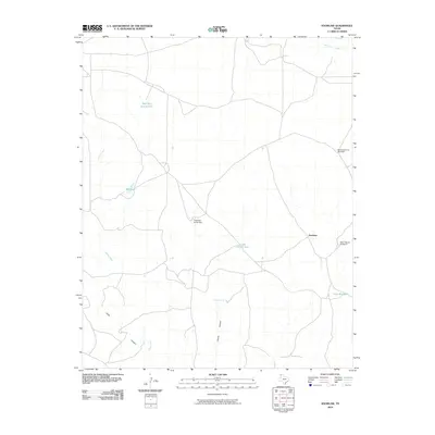
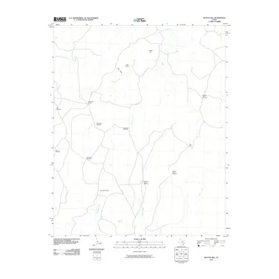
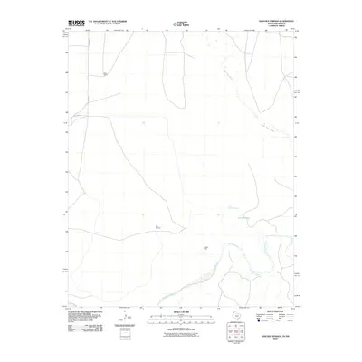
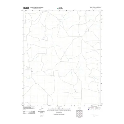
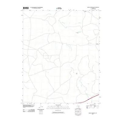
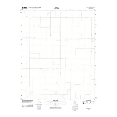
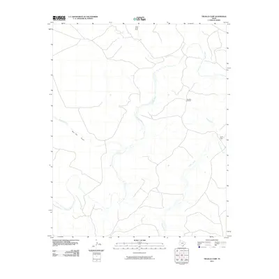
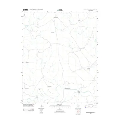
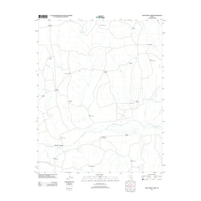
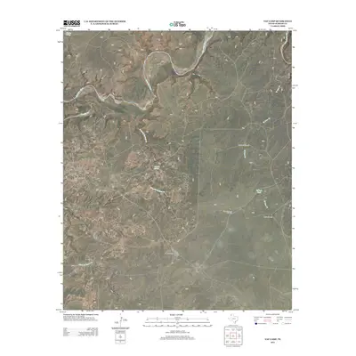
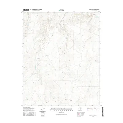
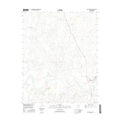
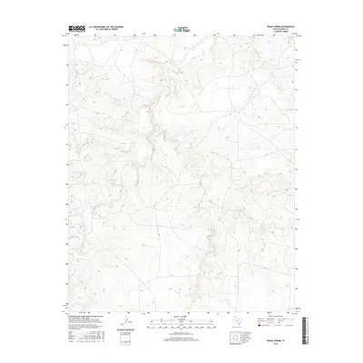
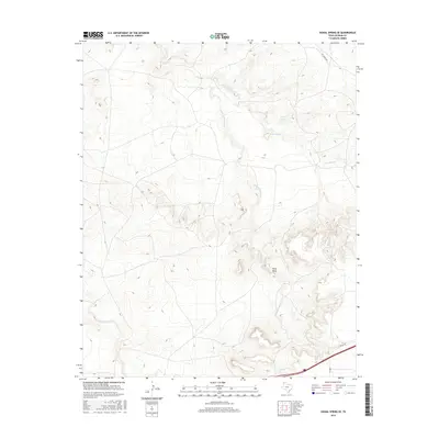
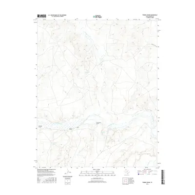
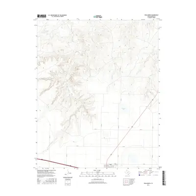
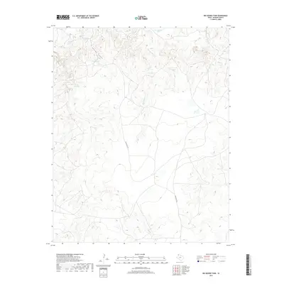
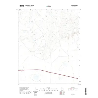
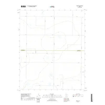
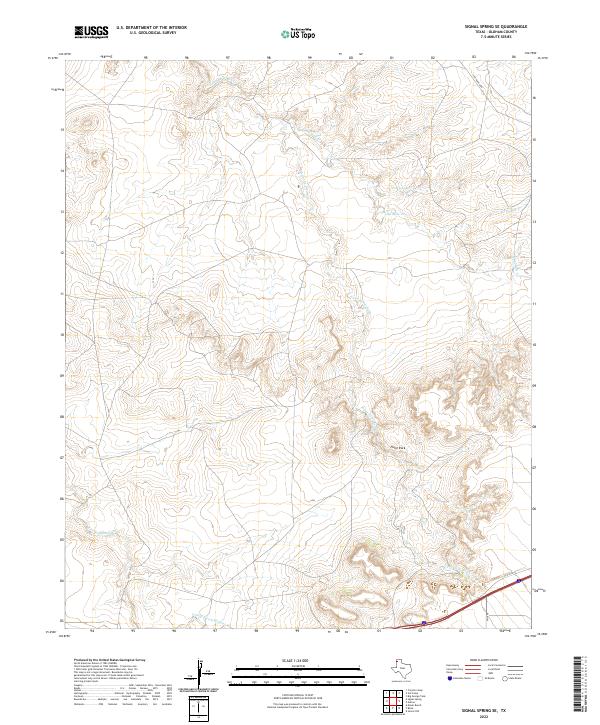
1966 Map of Signal Spring SE
USGS Topo · Published 1969About this map
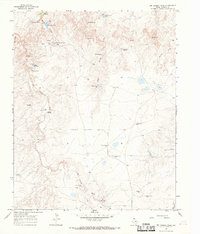
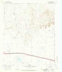
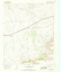
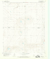
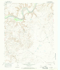
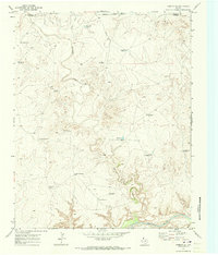
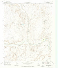
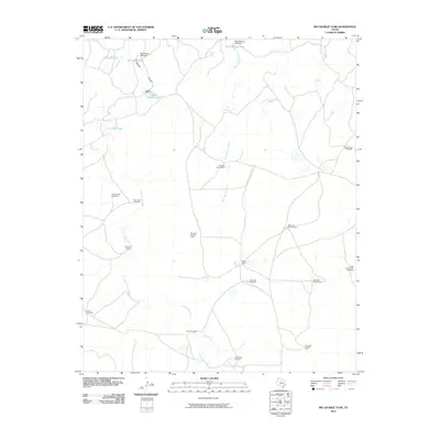
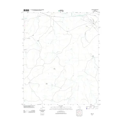
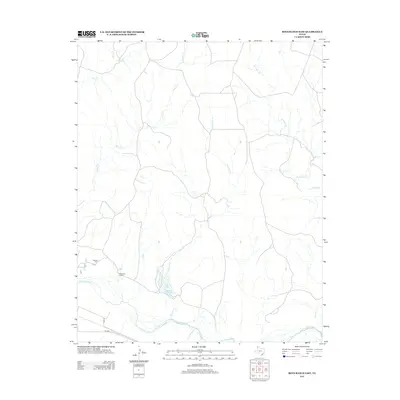
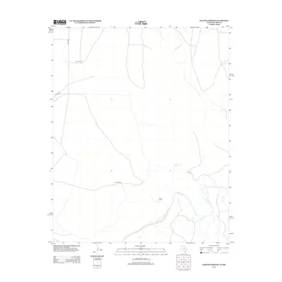
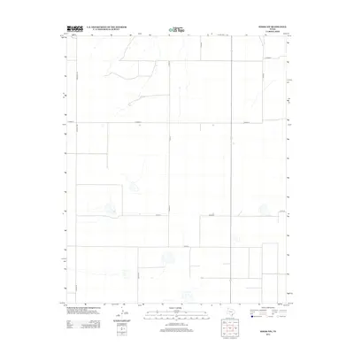
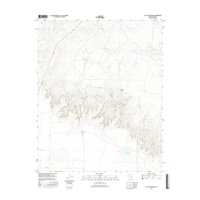
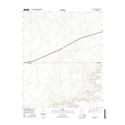
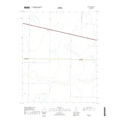
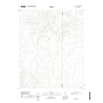
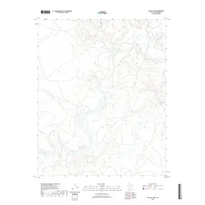
The Chicago Rock Island and Pacific railroad cuts through the southern corner of this Texas Panhandle landscape, marking a vital transportation corridor through Oldham County. The terrain is defined by the complex drainage systems of Piedra Creek, Lost Mule Creek, and Agua de Piedra Creek, which carve through the high plains toward prominent landmarks like Paint Rock. This 1960s survey illustrates a ranching economy reliant on isolated water sources, specifically noted by the Deep Well Windmill and Red Gate Windmill. Evidence of local industry appears near the rail line in the form of a Gravel Pit and Quarry, suggesting the extraction of local materials to support infrastructure and regional development.
Find a feature on this map
13 named features on this map. Tap any name to fly to it.
Don’t see what you’re looking for? This feature index may not catch every label — zoom into the map to look around manually.
Map Details
Editions of this 1966 Signal Spring SE Map
This is the sole edition of this map. No revisions or reprints were ever made.
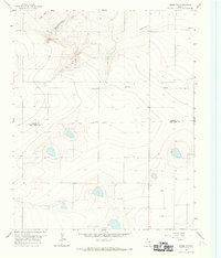
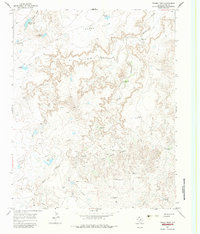
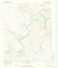
Historical Maps of Oldham County Through Time
161 maps found
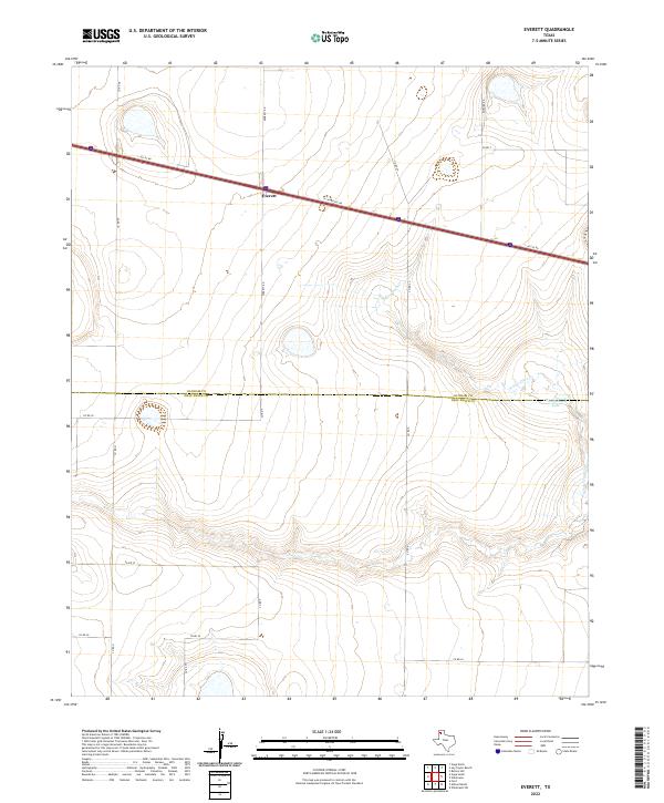
1965 Everett
Oldham County, TX
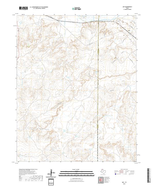
1966 Ady
Oldham County, TX
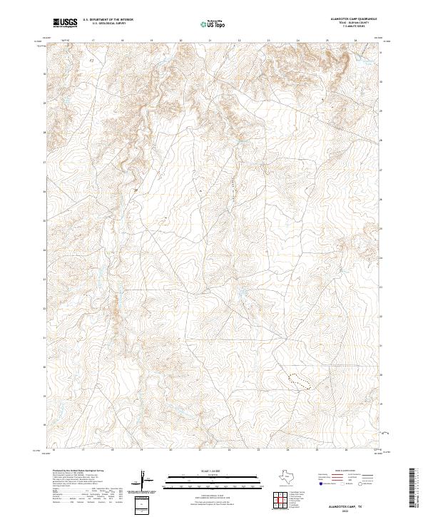
1966 Alamocitos Camp
Oldham County, TX
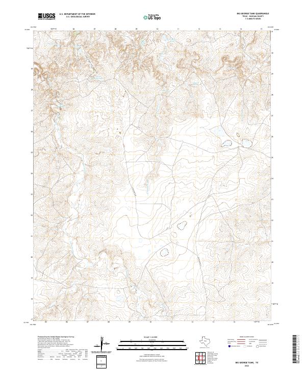
1966 Big George Tank
Oldham County, TX
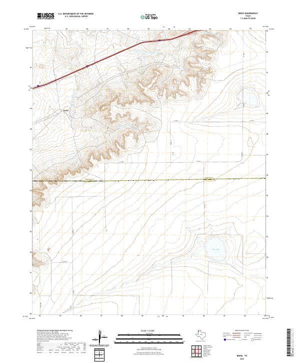
1966 Boise
Oldham County, TX
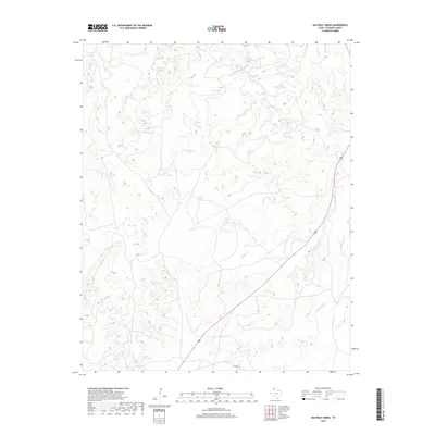
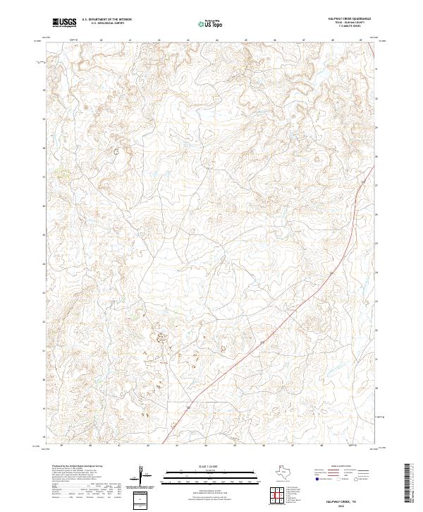
1966 Halfway Creek
Oldham County, TX
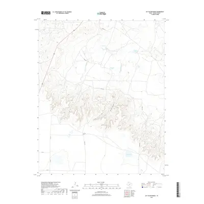
1966 Jay Taylor Ranch
Oldham County, TX
1966 Landergin
Oldham County, TX
1966 Moser Ranch
Oldham County, TX
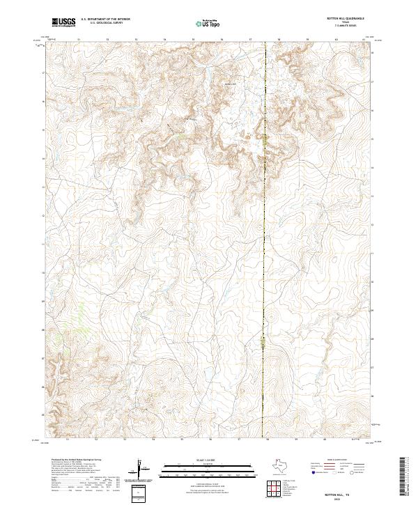
1966 Rotten Hill
Oldham County, TX
1966 Signal Spring
Oldham County, TX
1966 Signal Spring SE
Oldham County, TX
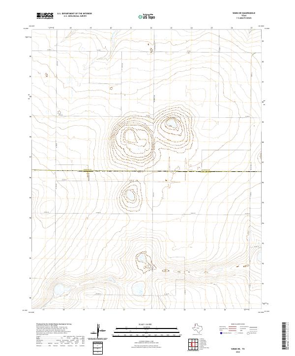
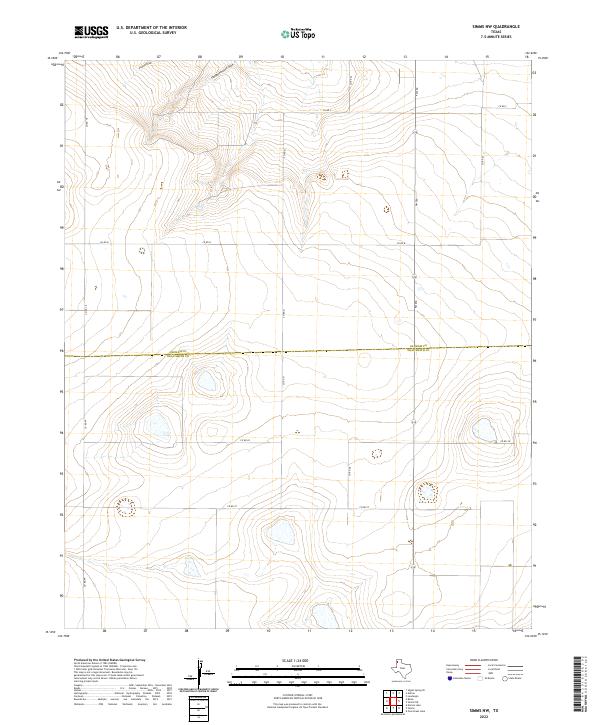
1966 Simms NE
Oldham County, TX
1966 Simms NW
Oldham County, TX
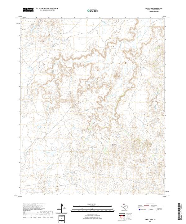
1966 Torrey Peak
Oldham County, TX
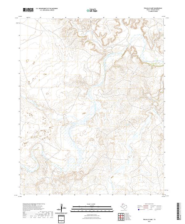
1966 Trujillo Camp
Oldham County, TX
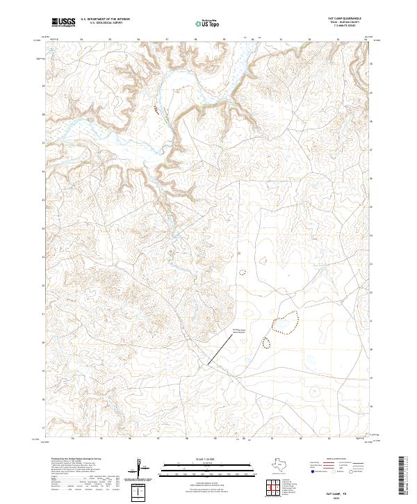
1966 Vat Camp
Oldham County, TX
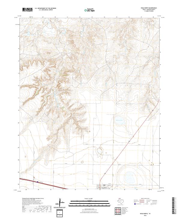
1966 Vega North
Oldham County, TX
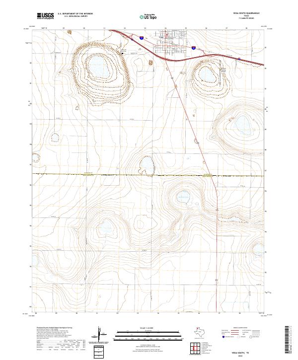
1966 Vega South
Oldham County, TX
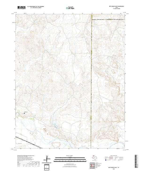
1971 Boys Ranch East
Oldham County, TX
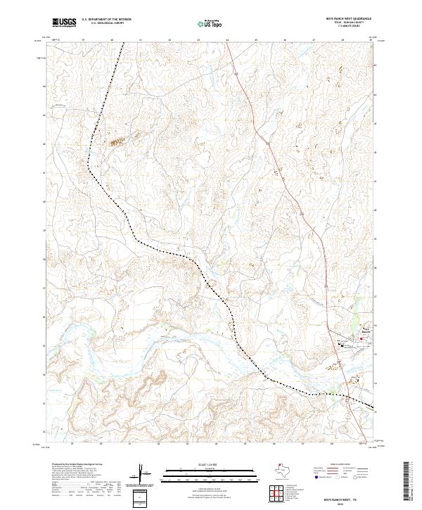
1971 Boys Ranch West
Oldham County, TX
1971 Humdinger Spring
Oldham County, TX
1971 Knoblaw
Oldham County, TX
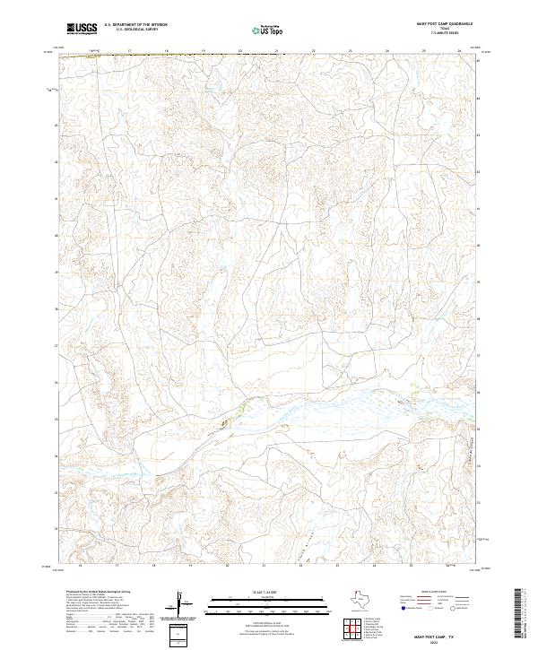
1971 Many Post Camp
Oldham County, TX
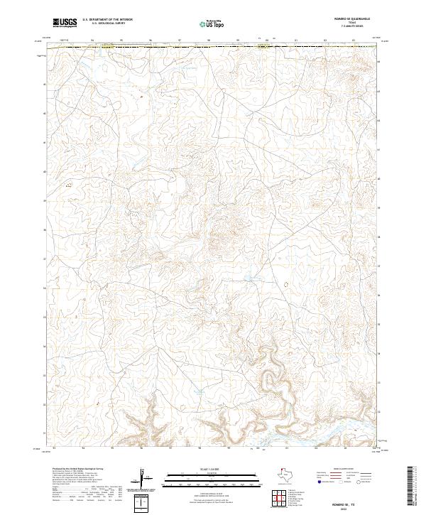
1971 Romero SE
Oldham County, TX
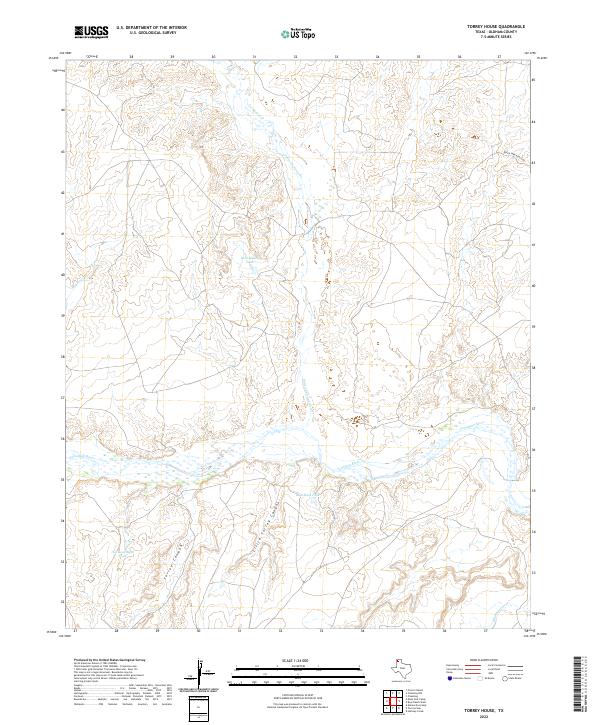
1971 Torrey House
Oldham County, TX
2010 Ady
Oldham County, TX
2010 Alamocitos Camp
Oldham County, TX
2010 Big George Tank
Oldham County, TX
2010 Boise
Oldham County, TX
2010 Boys Ranch East
Oldham County, TX
2010 Boys Ranch West
Oldham County, TX
2010 Everett
Oldham County, TX
2010 Halfway Creek
Oldham County, TX
2010 Humdinger Spring
Oldham County, TX
2010 Jay Taylor Ranch
Oldham County, TX
2010 Knoblaw
Oldham County, TX
2010 Landergin
Oldham County, TX

2010 Many Post Camp
Oldham County, TX
2010 Moser Ranch
Oldham County, TX
2010 Romero SE
Oldham County, TX
2010 Rotten Hill
Oldham County, TX
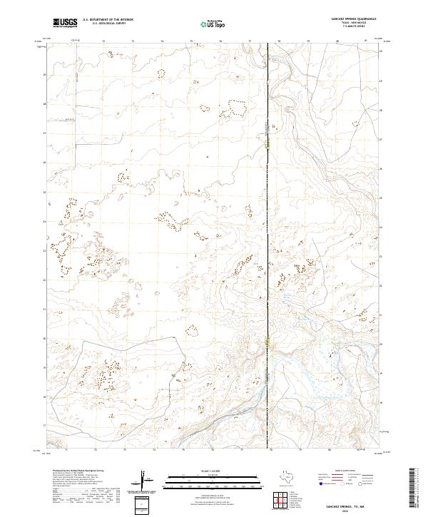
2010 Sanchez Springs
Oldham County, TX
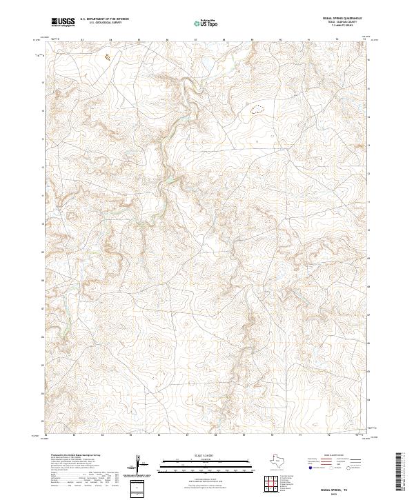
2010 Signal Spring
Oldham County, TX
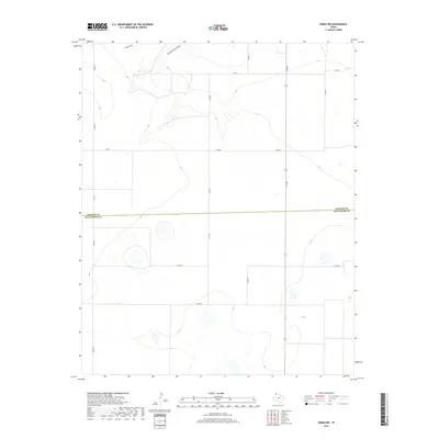
2010 Signal Spring SE
Oldham County, TX
2010 Simms NE
Oldham County, TX
2010 Simms NW
Oldham County, TX
2010 Torrey House
Oldham County, TX
2010 Torrey Peak
Oldham County, TX
2010 Trujillo Camp
Oldham County, TX
2010 Vat Camp
Oldham County, TX
2010 Vega North
Oldham County, TX
2010 Vega South
Oldham County, TX
2012 Ady
Oldham County, TX
2012 Alamocitos Camp
Oldham County, TX
2012 Big George Tank
Oldham County, TX
2012 Boise
Oldham County, TX
2012 Boys Ranch East
Oldham County, TX
2012 Boys Ranch West
Oldham County, TX
2012 Everett
Oldham County, TX
2012 Halfway Creek
Oldham County, TX
2012 Humdinger Spring
Oldham County, TX
2012 Jay Taylor Ranch
Oldham County, TX
2012 Knoblaw
Oldham County, TX
2012 Landergin
Oldham County, TX
2012 Many Post Camp
Oldham County, TX
2012 Moser Ranch
Oldham County, TX
2012 Romero SE
Oldham County, TX
2012 Rotten Hill
Oldham County, TX
2012 Sanchez Springs
Oldham County, TX
2012 Signal Spring
Oldham County, TX
2012 Signal Spring SE
Oldham County, TX
2012 Simms NE
Oldham County, TX
2012 Simms NW
Oldham County, TX
2012 Torrey House
Oldham County, TX
2012 Torrey Peak
Oldham County, TX
2012 Trujillo Camp
Oldham County, TX
2012 Vat Camp
Oldham County, TX
2012 Vega North
Oldham County, TX
2012 Vega South
Oldham County, TX
2016 Ady
Oldham County, TX
2016 Alamocitos Camp
Oldham County, TX
2016 Big George Tank
Oldham County, TX
2016 Boise
Oldham County, TX
2016 Boys Ranch East
Oldham County, TX
2016 Boys Ranch West
Oldham County, TX
2016 Everett
Oldham County, TX
2016 Halfway Creek
Oldham County, TX
2016 Humdinger Spring
Oldham County, TX
2016 Jay Taylor Ranch
Oldham County, TX
2016 Knoblaw
Oldham County, TX
2016 Landergin
Oldham County, TX
2016 Many Post Camp
Oldham County, TX
2016 Moser Ranch
Oldham County, TX
2016 Romero SE
Oldham County, TX
2016 Rotten Hill
Oldham County, TX
2016 Sanchez Springs
Oldham County, TX
2016 Signal Spring
Oldham County, TX
2016 Signal Spring SE
Oldham County, TX
2016 Simms NE
Oldham County, TX
2016 Simms NW
Oldham County, TX
2016 Torrey House
Oldham County, TX
2016 Torrey Peak
Oldham County, TX
2016 Trujillo Camp
Oldham County, TX
2016 Vat Camp
Oldham County, TX
2016 Vega North
Oldham County, TX
2016 Vega South
Oldham County, TX
2019 Ady
Oldham County, TX
2019 Alamocitos Camp
Oldham County, TX
2019 Big George Tank
Oldham County, TX
2019 Boise
Oldham County, TX
2019 Boys Ranch East
Oldham County, TX
2019 Boys Ranch West
Oldham County, TX
2019 Everett
Oldham County, TX
2019 Halfway Creek
Oldham County, TX

2019 Humdinger Spring
Oldham County, TX
2019 Jay Taylor Ranch
Oldham County, TX
2019 Knoblaw
Oldham County, TX
2019 Landergin
Oldham County, TX
2019 Many Post Camp
Oldham County, TX
2019 Moser Ranch
Oldham County, TX
2019 Romero SE
Oldham County, TX
2019 Rotten Hill
Oldham County, TX
2019 Sanchez Springs
Oldham County, TX
2019 Signal Spring
Oldham County, TX
2019 Signal Spring SE
Oldham County, TX
2019 Simms NE
Oldham County, TX
2019 Simms NW
Oldham County, TX
2019 Torrey House
Oldham County, TX
2019 Torrey Peak
Oldham County, TX
2019 Trujillo Camp
Oldham County, TX
2019 Vat Camp
Oldham County, TX
2019 Vega North
Oldham County, TX
2019 Vega South
Oldham County, TX
2022 Ady
Oldham County, TX
2022 Alamocitos Camp
Oldham County, TX
2022 Big George Tank
Oldham County, TX
2022 Boise
Oldham County, TX
2022 Boys Ranch East
Oldham County, TX
2022 Boys Ranch West
Oldham County, TX
2022 Everett
Oldham County, TX
2022 Halfway Creek
Oldham County, TX
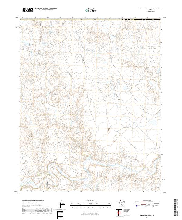
2022 Humdinger Spring
Oldham County, TX
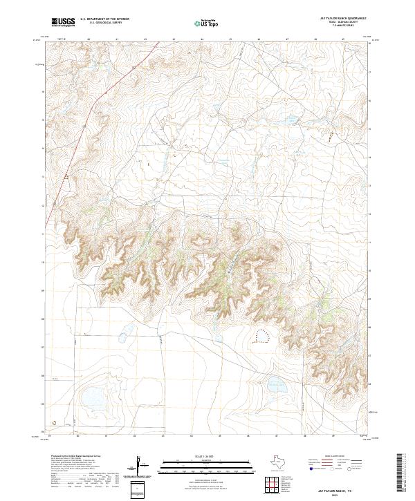
2022 Jay Taylor Ranch
Oldham County, TX
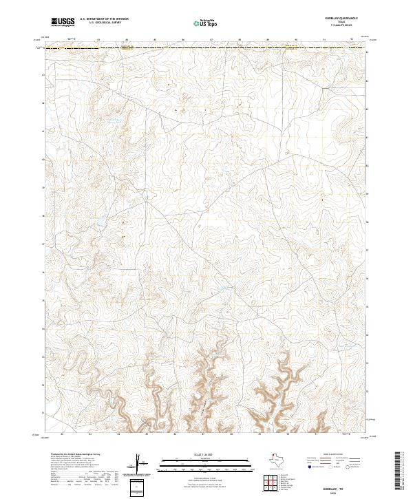
2022 Knoblaw
Oldham County, TX
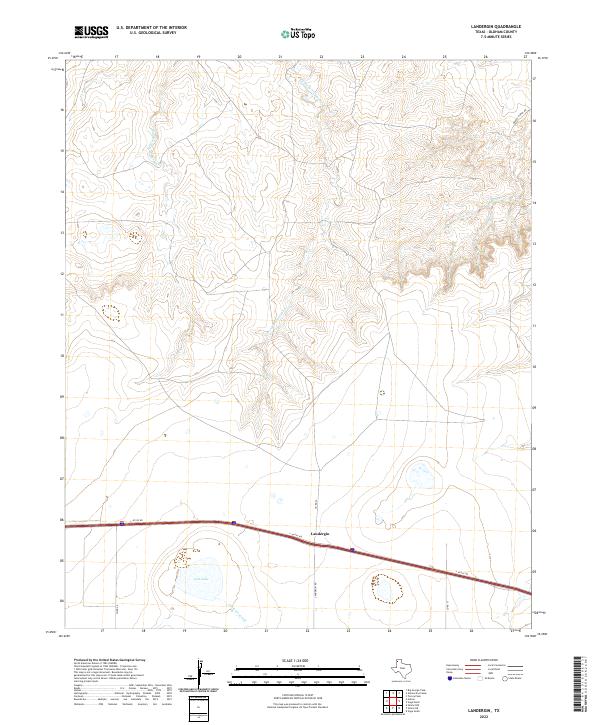
2022 Landergin
Oldham County, TX
2022 Many Post Camp
Oldham County, TX
2022 Moser Ranch
Oldham County, TX
2022 Romero SE
Oldham County, TX
2022 Rotten Hill
Oldham County, TX
2022 Sanchez Springs
Oldham County, TX
2022 Signal Spring
Oldham County, TX
2022 Signal Spring SE
Oldham County, TX
2022 Simms NE
Oldham County, TX
2022 Simms NW
Oldham County, TX
2022 Torrey House
Oldham County, TX
2022 Torrey Peak
Oldham County, TX
2022 Trujillo Camp
Oldham County, TX
2022 Vat Camp
Oldham County, TX
2022 Vega North
Oldham County, TX
2022 Vega South
Oldham County, TX