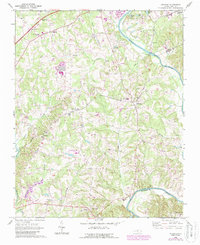
1969 Map of Advance
USGS Topo · Published 1987About this map
The Yadkin River winds along the eastern boundary of this Davie County landscape, carving a natural border against Forsyth and Davidson counties. In the late 1960s, this region maintained a distinct rural character centered on several small crossroads settlements, including Advance, Redland, Bixby, and Cornatzer. The presence of several long-standing community landmarks like Bethlehem Ch, Mock Ch, and Fork Church underscores the deep-rooted local history of the area.
Find a feature on this map
41 named features on this map. Tap any name to fly to it.
Don’t see what you’re looking for? This feature index may not catch every label — zoom into the map to look around manually.
Map Details
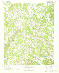
Editions of this 1969 Advance Map
2 editions found
Other maps of this area

1891 · Yadkinville
USGS Topo · 1:125,000

1893 · Statesville
USGS Topo · 1:125,000

1893 · Yadkinville
USGS Topo · 1:125,000

1950 · Winston-Salem West
USGS Topo · 1:24,000

1950 · Lexington West
USGS Topo · 1:24,000

1950 · Churchland
USGS Topo · 1:24,000

1951 · Winston-Salem West
USGS Topo · 1:24,000

1951 · Churchland
USGS Topo · 1:24,000

1951 · Lexington West
USGS Topo · 1:24,000

1953 · Charlotte
USGS Topo · 1:250,000