
1970 Map of Aermotor Draw
USGS Topo · Published 1973About this map
Isolated ranching operations and water management infrastructure define this West Texas landscape along the border of Crockett and Val Verde counties. The terrain is marked by a complex network of dry watercourses, including the central Aermotor Draw and the southern reaches of Devils Draw and Johnson Draw. Settlement is sparse, represented by family-named landmarks such as Haryik Ranch and West Ranch, which relied on a series of scattered windmills to sustain life in this arid region.
Find a feature on this map
18 named features on this map. Tap any name to fly to it.
Don’t see what you’re looking for? This feature index may not catch every label — zoom into the map to look around manually.
Map Details
Editions of this 1970 Aermotor Draw Map
This is the sole edition of this map. No revisions or reprints were ever made.
Other maps of this area

1954 · Sonora
USGS Topo · 1:250,000

1958 · Sonora
USGS Topo · 1:250,000

1970 · Howards Well NE
USGS Topo · 1:24,000

1970 · Steel Star Draw
USGS Topo · 1:24,000

1970 · Indian Draw
USGS Topo · 1:24,000

1970 · Bee Canyon
USGS Topo · 1:24,000

1970 · Howards Well
USGS Topo · 1:24,000

1970 · Howards Well SW
USGS Topo · 1:24,000
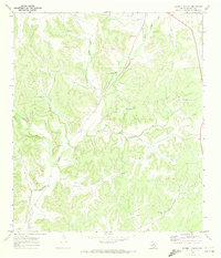
1970 · Harrell Canyon
USGS Topo · 1:24,000
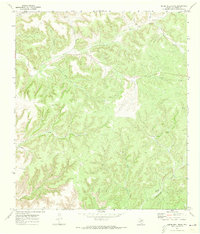
1970 · Divide Well Draw
USGS Topo · 1:24,000