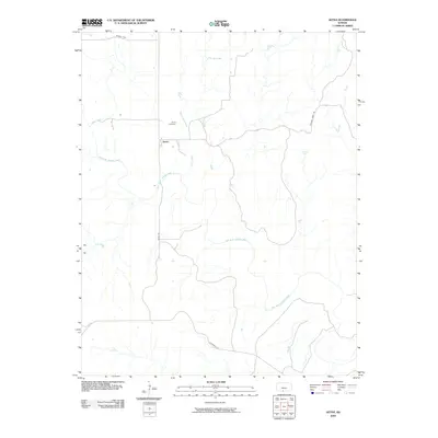
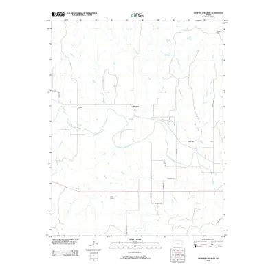
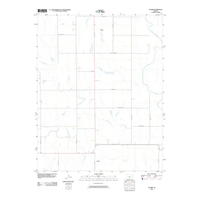
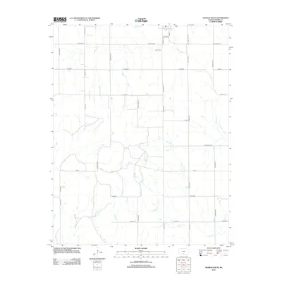
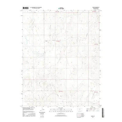
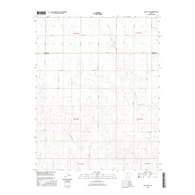
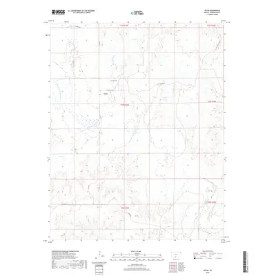
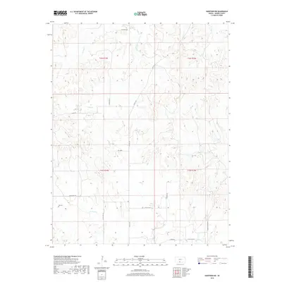
1973 Map of Aetna
USGS Topo · Published 1975About this map
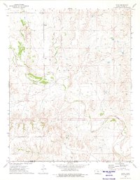
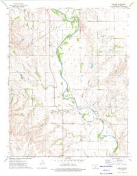
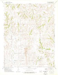
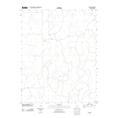
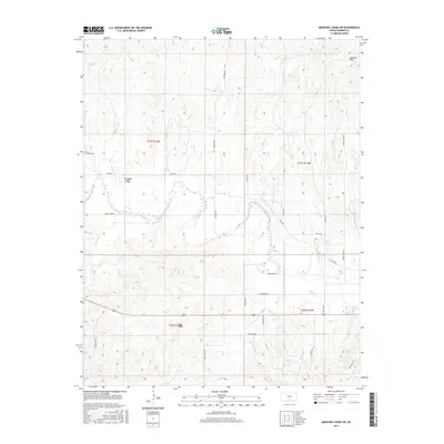
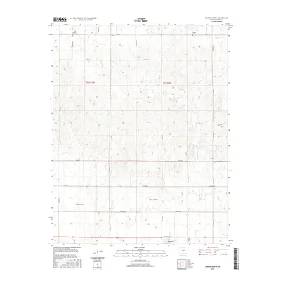
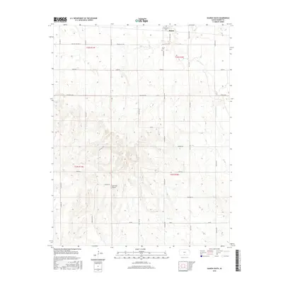
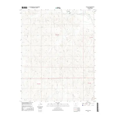
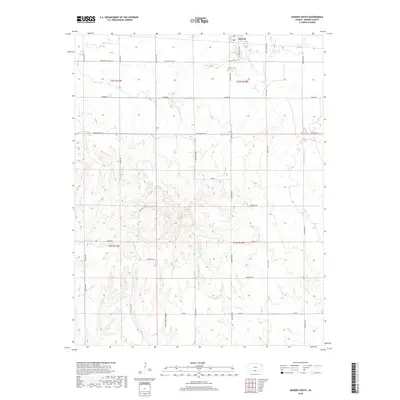
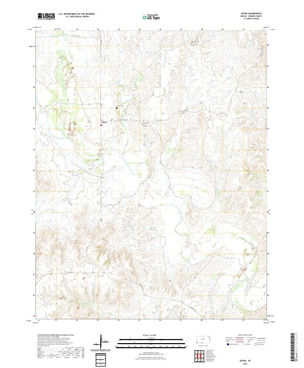
Aetna and its surroundings in Barber County appear here as a landscape shaped by energy extraction and historical territorial lines. The Salt Fork Arkansas River winds through the central portion of the map, carving through the terrain near the small settlement and the Aetna Cem. This area is defined by the extensive Oil and Gas Field, dotted with numerous Oil Wells, Gas Wells, and Drill Holes, along with a network of Pipelines that traverse the countryside.
Find a feature on this map
16 named features on this map. Tap any name to fly to it.
Don’t see what you’re looking for? This feature index may not catch every label — zoom into the map to look around manually.
Map Details
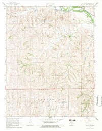
Editions of this 1973 Aetna Map
This is the sole edition of this map. No revisions or reprints were ever made.
Historical Maps of Aetna Through Time
72 maps found
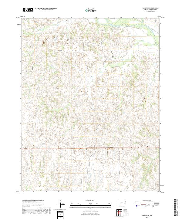
1968 Sun City SW
Barber County, KS
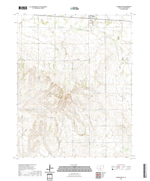
1972 Sharon South
Barber County, KS
1973 Aetna
Barber County, KS
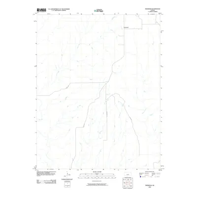
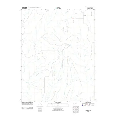
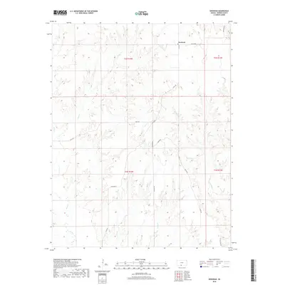
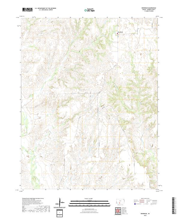
1973 Deerhead
Barber County, KS
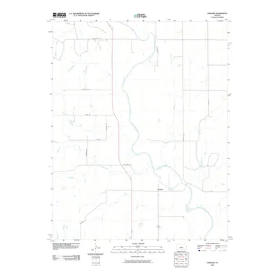
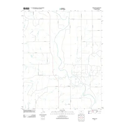
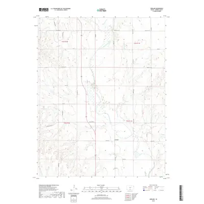
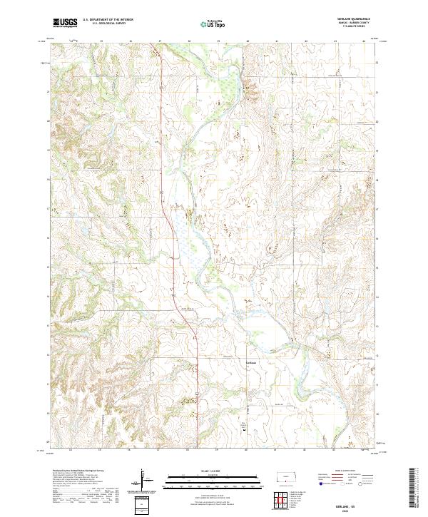
1973 Gerlane
Barber County, KS
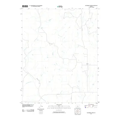
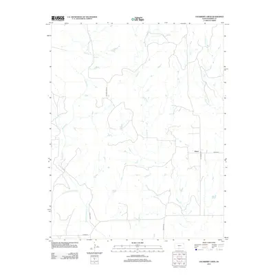
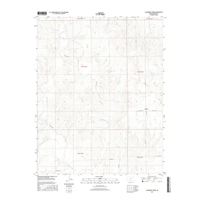
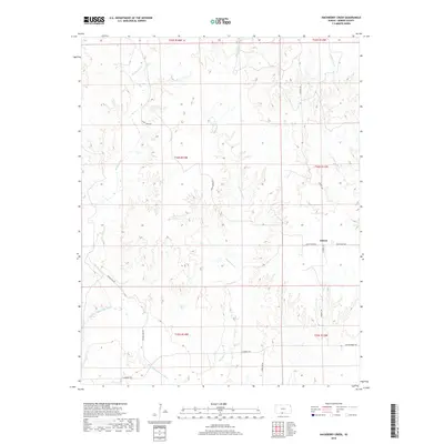
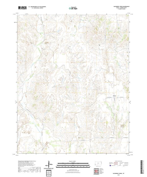
1973 Hackberry Creek
Barber County, KS
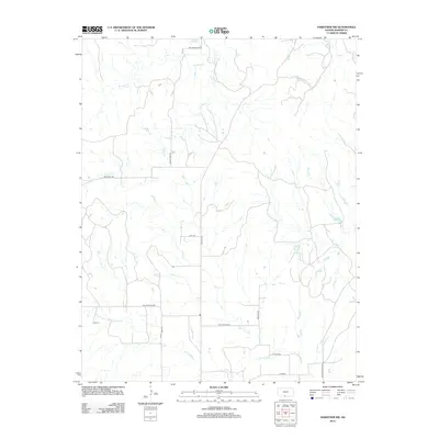
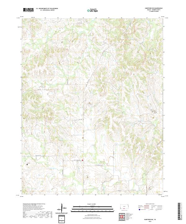
1973 Hardtner NW
Barber County, KS
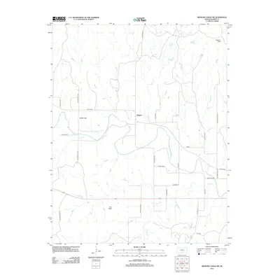
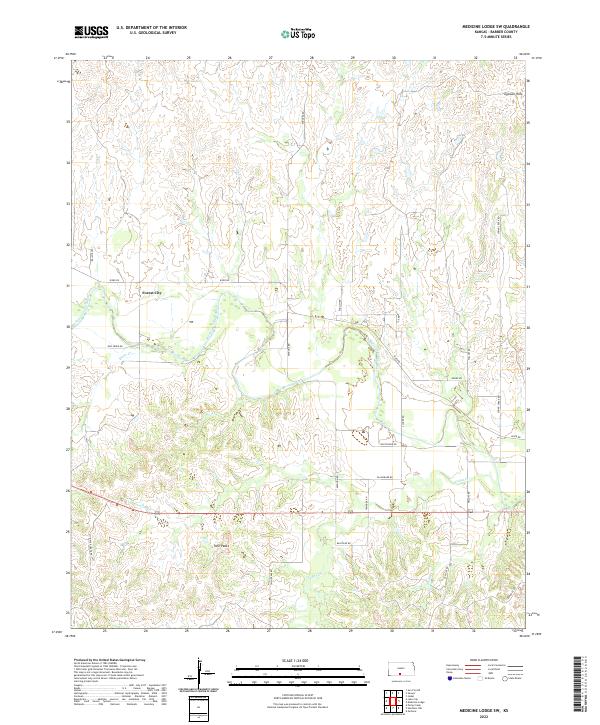
1973 Medicine Lodge SW
Barber County, KS
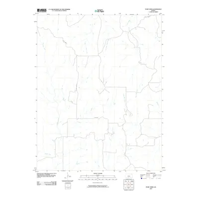
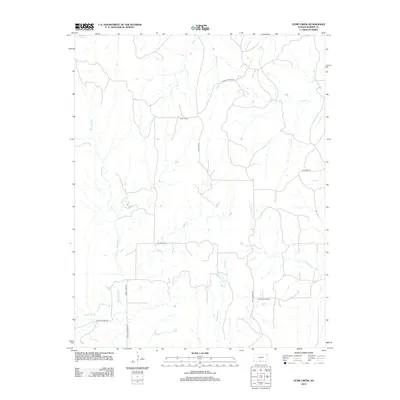
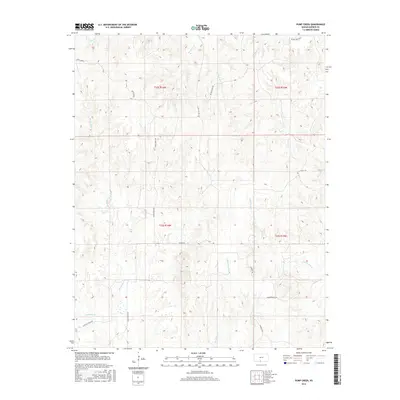
1973 Pump Creek
Barber County, KS
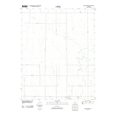
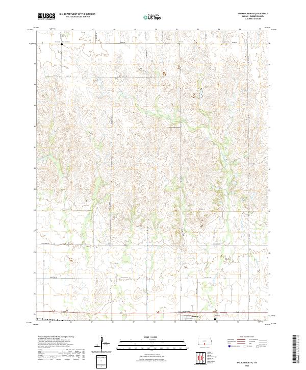
1973 Sharon North
Barber County, KS
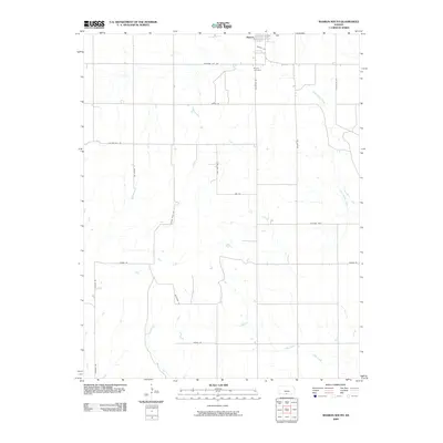
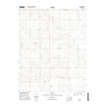
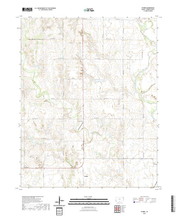
1973 Stubbs
Barber County, KS
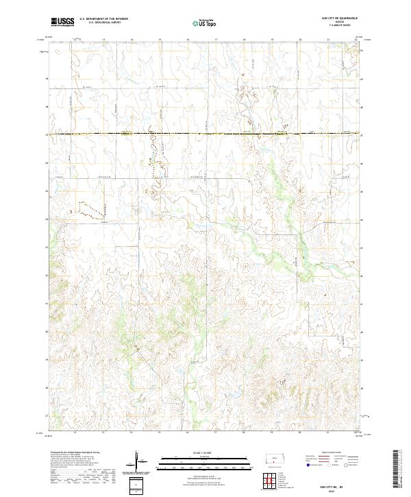
1973 Sun City NE
Barber County, KS
2009 Aetna
Barber County, KS
2009 Deerhead
Barber County, KS
2009 Gerlane
Barber County, KS
2009 Hackberry Creek
Barber County, KS
2009 Medicine Lodge SW
Barber County, KS
2009 Pump Creek
Barber County, KS
2009 Sharon North
Barber County, KS
2009 Sharon South
Barber County, KS
2009 Stubbs
Barber County, KS
2009 Sun City NE
Barber County, KS
2009 Sun City SW
Barber County, KS
2010 Hardtner NW
Barber County, KS
2012 Aetna
Barber County, KS
2012 Deerhead
Barber County, KS
2012 Gerlane
Barber County, KS
2012 Hackberry Creek
Barber County, KS
2012 Hardtner NW
Barber County, KS
2012 Medicine Lodge SW
Barber County, KS
2012 Pump Creek
Barber County, KS
2012 Sharon North
Barber County, KS
2012 Sharon South
Barber County, KS
2012 Stubbs
Barber County, KS
2012 Sun City NE
Barber County, KS
2012 Sun City SW
Barber County, KS
2015 Aetna
Barber County, KS
2015 Deerhead
Barber County, KS
2015 Gerlane
Barber County, KS
2015 Hardtner NW
Barber County, KS
2015 Medicine Lodge SW
Barber County, KS
2015 Sharon North
Barber County, KS
2015 Sharon South
Barber County, KS
2015 Sun City SW
Barber County, KS
2016 Hackberry Creek
Barber County, KS
2016 Pump Creek
Barber County, KS
2016 Stubbs
Barber County, KS
2016 Sun City NE
Barber County, KS
2018 Aetna
Barber County, KS
2018 Deerhead
Barber County, KS
2018 Gerlane
Barber County, KS
2018 Hackberry Creek
Barber County, KS
2018 Hardtner NW
Barber County, KS
2018 Medicine Lodge SW
Barber County, KS
2018 Pump Creek
Barber County, KS
2018 Sharon North
Barber County, KS
2018 Sharon South
Barber County, KS
2018 Stubbs
Barber County, KS
2018 Sun City NE
Barber County, KS
2018 Sun City SW
Barber County, KS
2022 Aetna
Barber County, KS
2022 Deerhead
Barber County, KS
2022 Gerlane
Barber County, KS
2022 Hackberry Creek
Barber County, KS
2022 Hardtner NW
Barber County, KS
2022 Medicine Lodge SW
Barber County, KS

2022 Pump Creek
Barber County, KS
2022 Sharon North
Barber County, KS
2022 Sharon South
Barber County, KS
2022 Stubbs
Barber County, KS
2022 Sun City NE
Barber County, KS
2022 Sun City SW
Barber County, KS