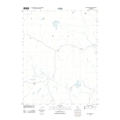
2012 Map of Aetna Springs
USGS Topo · Published 2012About this map
Aetna Springs and the nearby Black Oak Villa anchor this region of northern Napa County, where a complex network of canyons and high peaks shapes the landscape. The settlement at Aetna Springs is situated near the Aetna Springs Golf Course, positioned at the junction of Aetna Springs Rd, Pope Valley Rd, and Butts Canyon Rd. This road network follows the natural drainage of Pope Cr and Swartz Cr, illustrating how human transit in this era remained tightly bound to the geography of the creek valleys.
Find a feature on this map
29 named features on this map. Tap any name to fly to it.
Don’t see what you’re looking for? This feature index may not catch every label — zoom into the map to look around manually.
Map Details
Editions of this 2012 Aetna Springs Map
This is the sole edition of this map. No revisions or reprints were ever made.
Other maps of this area

1927 · Calistoga
USGS Topo · 1:62,500

1942 · St. Helena
USGS Topo · 1:62,500

1943 · Morgan Valley
USGS Topo · 1:62,500

1943 · Calistoga
USGS Topo · 1:62,500

1944 · Morgan Valley
USGS Topo · 1:62,500

1945 · Calistoga
USGS Topo · 1:62,500

1945 · St. Helena
USGS Topo · 1:62,500

1945 · Lower Lake
USGS Topo · 1:62,500

1947 · Santa Rosa
USGS Topo · 1:250,000

1949 · Santa Rosa
USGS Topo · 1:250,000