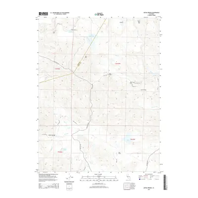
2015 Map of Aetna Springs
USGS Topo · Published 2015About this map
Aetna Springs and the rural community of Pope Valley anchor this 2015 topography of the California Coast Ranges. The landscape is defined by its drainages and high points, such as Devils Head Peak and Snell Peak, which rise above a series of tucked-away valleys including Bohn Valley, Snell Valley, and Spanish Valley. A complex network of waterways, featuring Pope Cr, Butts Cr, and James Cr, carves through the terrain, eventually feeding toward the western edge of Lake Berryessa. This modern survey illustrates the persistent isolation of the region's historic settlements, connected by winding routes like Butts Canyon Rd and Snell Valley Rd. Small upland reservoirs such as Weeks Lake, Duvall Lake, and the tiered Upper Bohn Lake and Lower Bohn Lake dot the ridges, supporting the local agricultural and resort character of this Napa County hinterland.
Find a feature on this map
41 named features on this map. Tap any name to fly to it.
Don’t see what you’re looking for? This feature index may not catch every label — zoom into the map to look around manually.
Map Details
Editions of this 2015 Aetna Springs Map
This is the sole edition of this map. No revisions or reprints were ever made.
Other maps of this area

1927 · Calistoga
USGS Topo · 1:62,500

1942 · St. Helena
USGS Topo · 1:62,500

1943 · Morgan Valley
USGS Topo · 1:62,500

1943 · Calistoga
USGS Topo · 1:62,500

1944 · Morgan Valley
USGS Topo · 1:62,500

1945 · Calistoga
USGS Topo · 1:62,500

1945 · St. Helena
USGS Topo · 1:62,500

1945 · Lower Lake
USGS Topo · 1:62,500

1947 · Santa Rosa
USGS Topo · 1:250,000

1949 · Santa Rosa
USGS Topo · 1:250,000