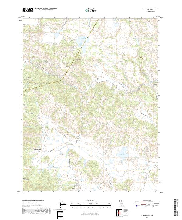
2021 Map of Aetna Springs
USGS Topo · Published 2021About this map
Aetna Springs and Pope Valley anchor this portion of the northern interior hills, where the landscape is defined by a series of high valleys and seasonal watercourses. The drainage patterns of Pope Creek and its tributaries, including James Creek and Swartz Creek, reveal the complex geography of the Vaca Mountains and the Mayacamas range. High points like Snell Peak and Goat Hill overlook enclosed basins such as Bohn Valley and Snell Valley.
Find a feature on this map
45 named features on this map. Tap any name to fly to it.
Don’t see what you’re looking for? This feature index may not catch every label — zoom into the map to look around manually.
Map Details
Editions of this 2021 Aetna Springs Map
This is the sole edition of this map. No revisions or reprints were ever made.
Other maps of this area

1927 · Calistoga
USGS Topo · 1:62,500

1942 · St. Helena
USGS Topo · 1:62,500

1943 · Morgan Valley
USGS Topo · 1:62,500

1943 · Calistoga
USGS Topo · 1:62,500

1944 · Morgan Valley
USGS Topo · 1:62,500

1945 · Calistoga
USGS Topo · 1:62,500

1945 · St. Helena
USGS Topo · 1:62,500

1945 · Lower Lake
USGS Topo · 1:62,500

1947 · Santa Rosa
USGS Topo · 1:250,000

1949 · Santa Rosa
USGS Topo · 1:250,000