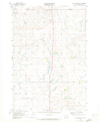
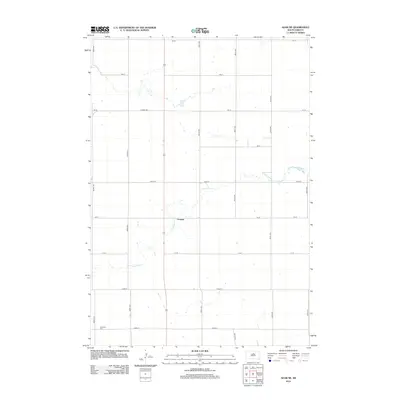
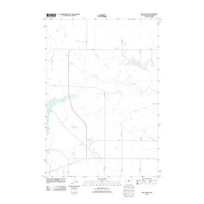
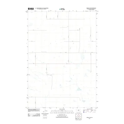
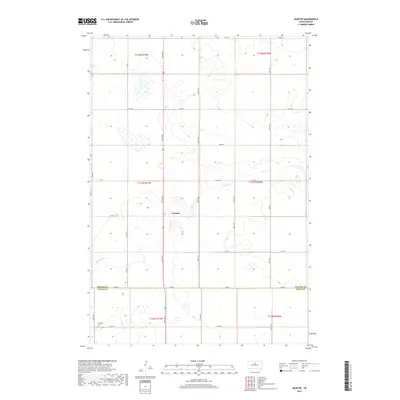
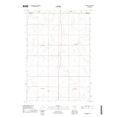
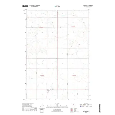
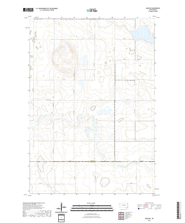
2021 Map of Agar NE
USGS Topo · Published 2021About this map
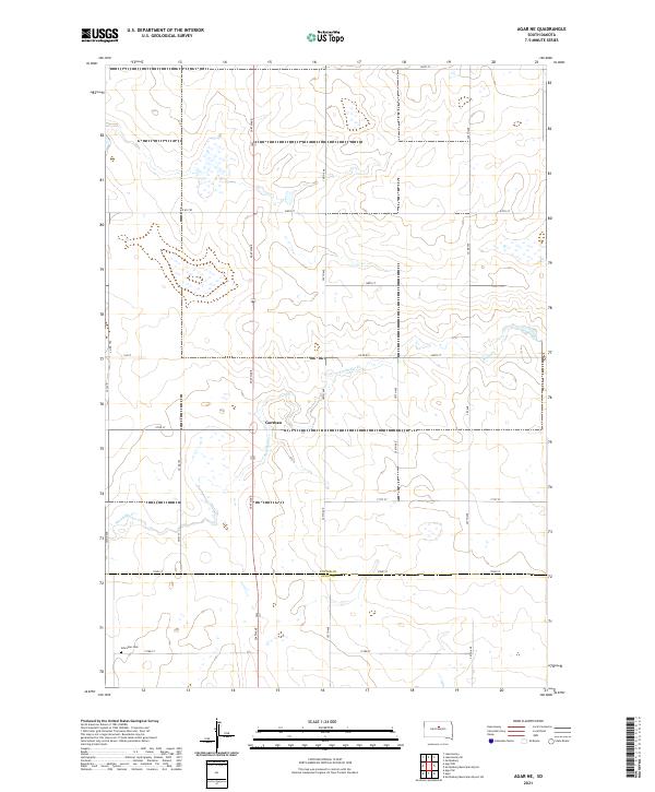
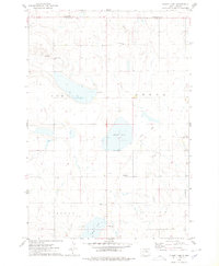
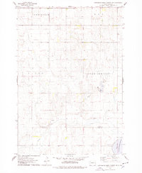
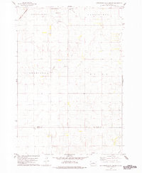
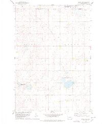
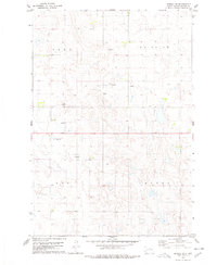
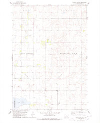
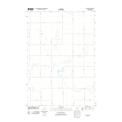
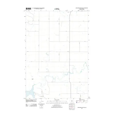
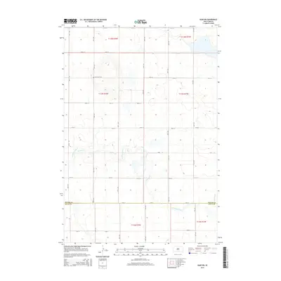
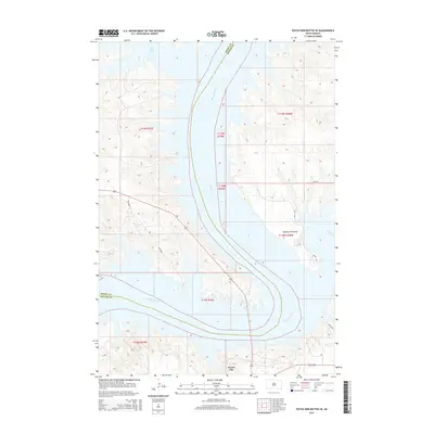
Gorman occupies a central position within this prairie landscape, situated near the headwaters of Artichoke Cr. The terrain reflects the characteristic section-line grid of the Great Plains, where an extensive network of rural roads like 304th Ave and 172nd St defines the agricultural boundaries. This 2021 survey captures the transition between Potter County and Sully County, a boundary marked by the meeting of several townships including T117n R77w and t116n r77w. To the south, the Schreiber Cem serves as a localized landmark for genealogists and local historians, representing the long-standing community heritage of the region. The map illustrates a landscape dominated by seasonal wetlands and the subtle drainage patterns of the Missouri River plateau.
Find a feature on this map
28 named features on this map. Tap any name to fly to it.
Don’t see what you’re looking for? This feature index may not catch every label — zoom into the map to look around manually.
Map Details
Editions of this 2021 Agar NE Map
This is the sole edition of this map. No revisions or reprints were ever made.
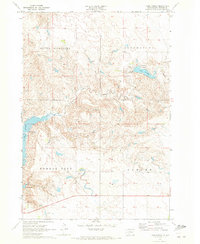
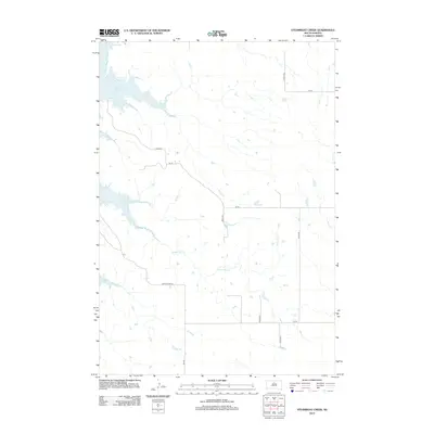
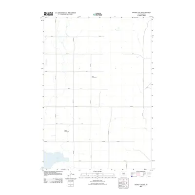
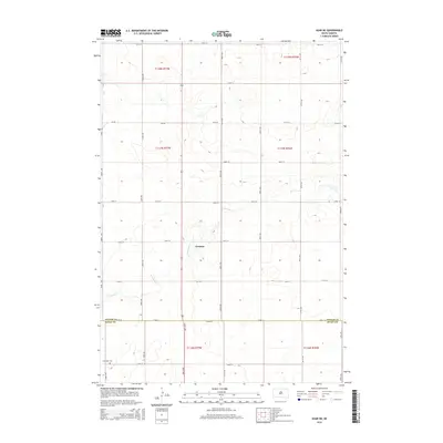
Historical Maps of Gorman Through Time
70 maps found

1969 Patch Skin Buttes SE
Potter County, SD
1970 Agar NE
Potter County, SD
1970 Agar NW
Potter County, SD
1970 Artichoke Butte NE
Potter County, SD
1970 Lake Hurley NE
Potter County, SD
1970 Lake Hurley
Potter County, SD
1970 Lake Hurley SE
Potter County, SD
1970 Steamboat Creek
Potter County, SD
1974 Flight Lake
Potter County, SD
1974 Gettysburg Muni. Airport NE
Potter County, SD
1978 Gettysburg Muni. Airport
Potter County, SD
1978 Seneca NW
Potter County, SD
1978 Seneca SW
Potter County, SD
1978 Thomas Lake NW
Potter County, SD
2012 Agar NE
Potter County, SD
2012 Agar NW
Potter County, SD
2012 Artichoke Butte NE
Potter County, SD

2012 Flight Lake
Potter County, SD
2012 Gettysburg Municipal Airport NE
Potter County, SD
2012 Gettysburg Municipal Airport
Potter County, SD
2012 Lake Hurley NE
Potter County, SD
2012 Lake Hurley
Potter County, SD
2012 Lake Hurley SE
Potter County, SD
2012 Patch Skin Buttes SE
Potter County, SD
2012 Seneca NW
Potter County, SD
2012 Seneca SW
Potter County, SD
2012 Steamboat Creek
Potter County, SD
2012 Thomas Lake NW
Potter County, SD
2015 Agar NE
Potter County, SD
2015 Agar NW
Potter County, SD
2015 Artichoke Butte NE
Potter County, SD
2015 Flight Lake
Potter County, SD
2015 Gettysburg Municipal Airport NE
Potter County, SD
2015 Gettysburg Municipal Airport
Potter County, SD
2015 Lake Hurley NE
Potter County, SD
2015 Lake Hurley
Potter County, SD
2015 Lake Hurley SE
Potter County, SD
2015 Patch Skin Buttes SE
Potter County, SD
2015 Seneca NW
Potter County, SD
2015 Seneca SW
Potter County, SD
2015 Steamboat Creek
Potter County, SD
2015 Thomas Lake NW
Potter County, SD
2017 Agar NE
Potter County, SD
2017 Agar NW
Potter County, SD
2017 Artichoke Butte NE
Potter County, SD

2017 Flight Lake
Potter County, SD
2017 Gettysburg Municipal Airport NE
Potter County, SD
2017 Gettysburg Municipal Airport
Potter County, SD
2017 Lake Hurley NE
Potter County, SD
2017 Lake Hurley
Potter County, SD
2017 Lake Hurley SE
Potter County, SD
2017 Patch Skin Buttes SE
Potter County, SD
2017 Seneca NW
Potter County, SD
2017 Seneca SW
Potter County, SD
2017 Steamboat Creek
Potter County, SD
2017 Thomas Lake NW
Potter County, SD
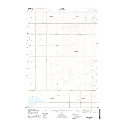
2021 Agar NE
Potter County, SD
2021 Agar NW
Potter County, SD
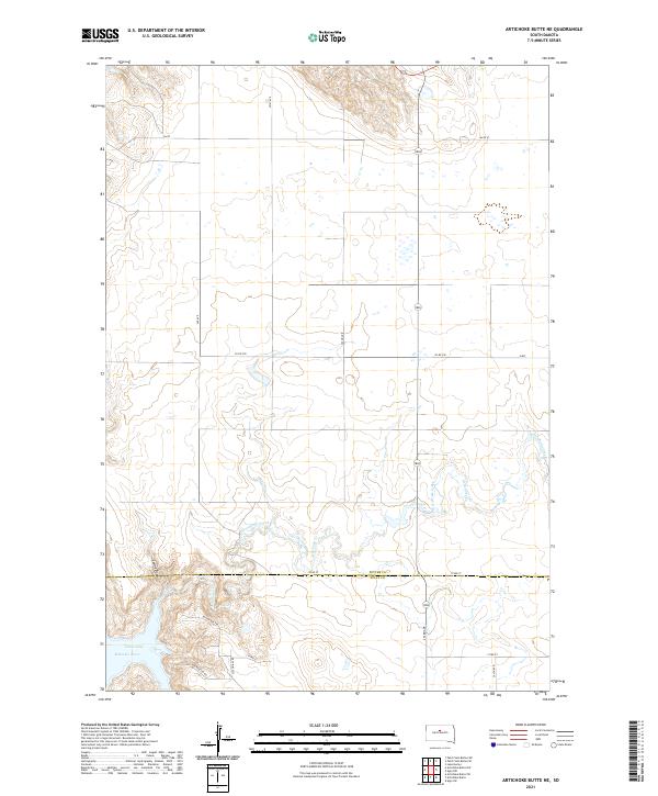
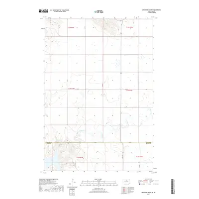
2021 Artichoke Butte NE
Potter County, SD
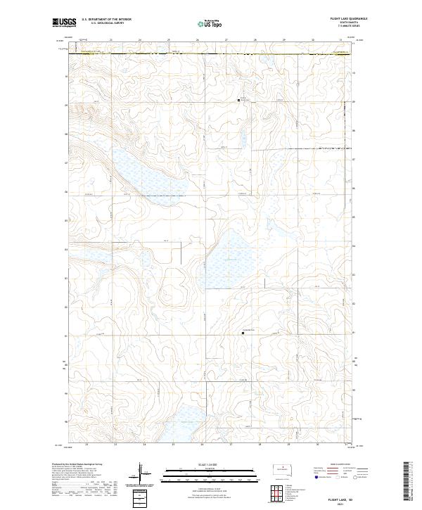
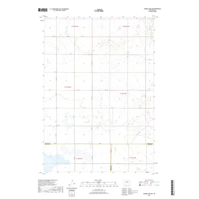
2021 Flight Lake
Potter County, SD
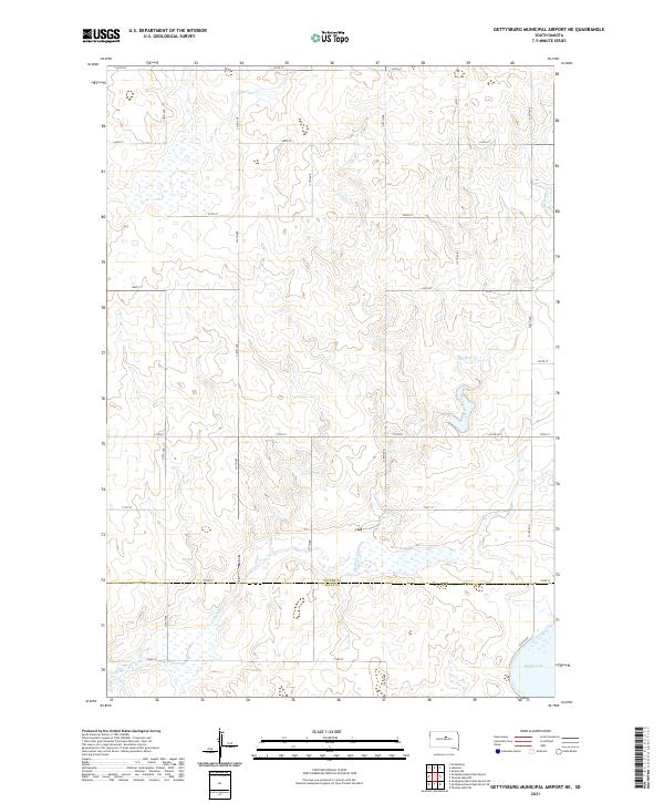
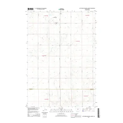
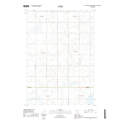
2021 Gettysburg Municipal Airport NE
Potter County, SD
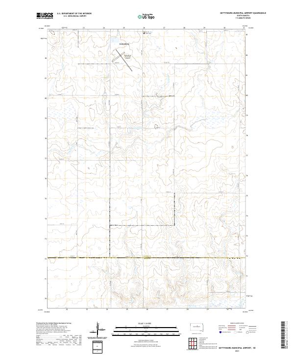
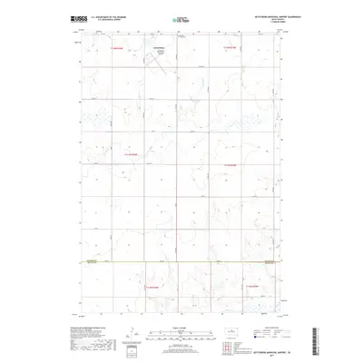
2021 Gettysburg Municipal Airport
Potter County, SD
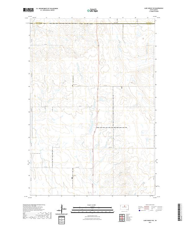
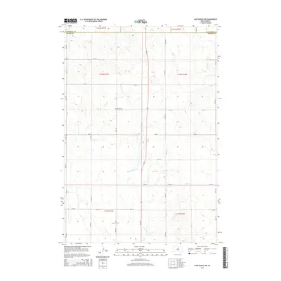
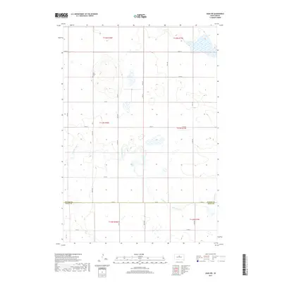
2021 Lake Hurley NE
Potter County, SD
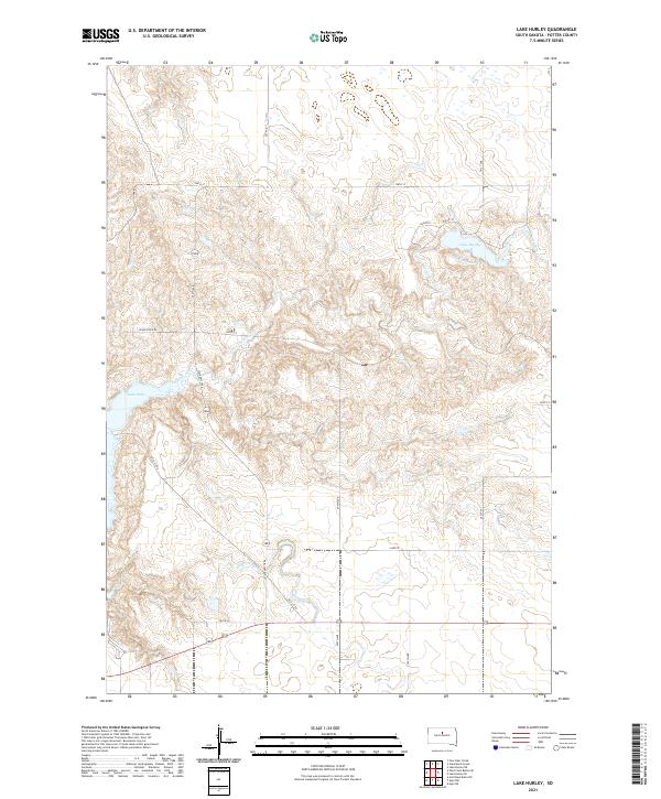
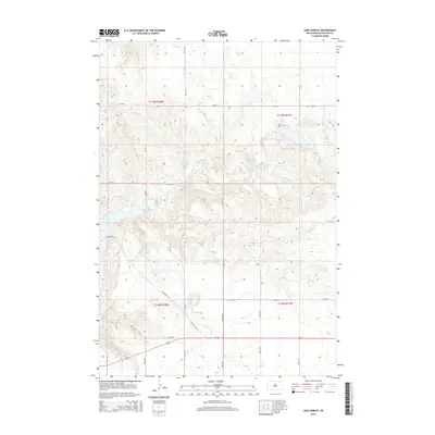
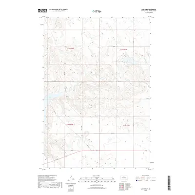
2021 Lake Hurley
Potter County, SD
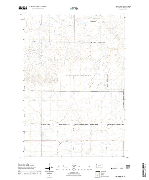
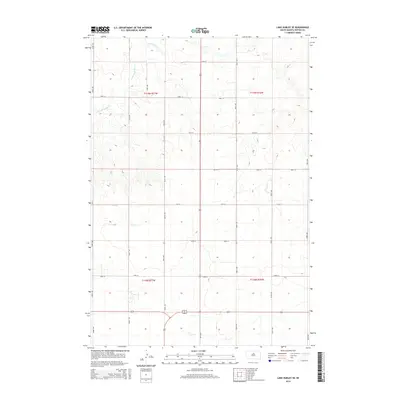
2021 Lake Hurley SE
Potter County, SD
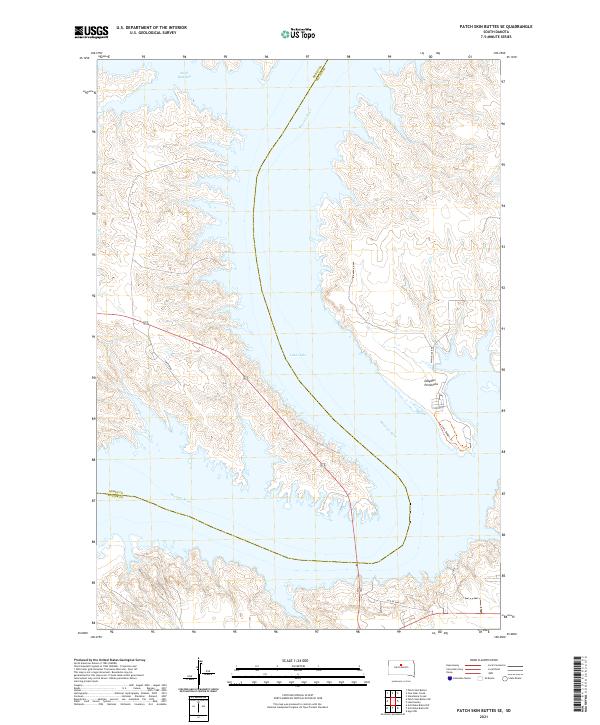
2021 Patch Skin Buttes SE
Potter County, SD
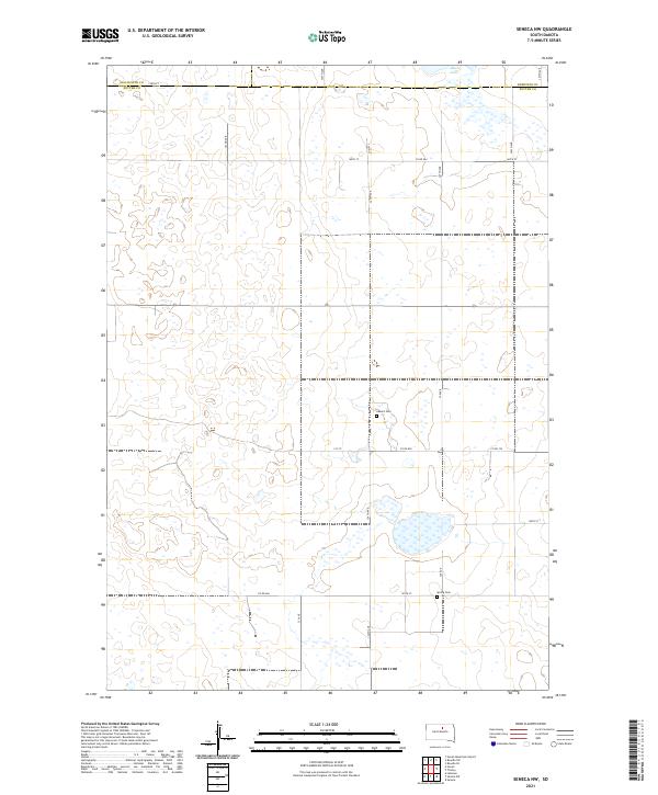
2021 Seneca NW
Potter County, SD
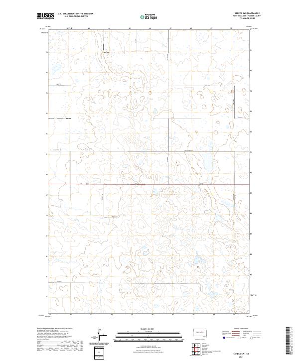
2021 Seneca SW
Potter County, SD
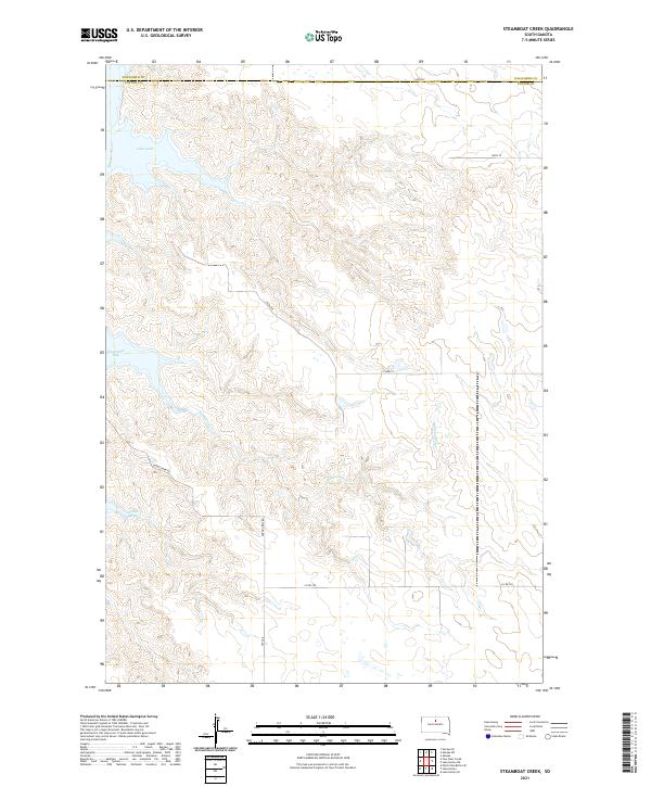
2021 Steamboat Creek
Potter County, SD
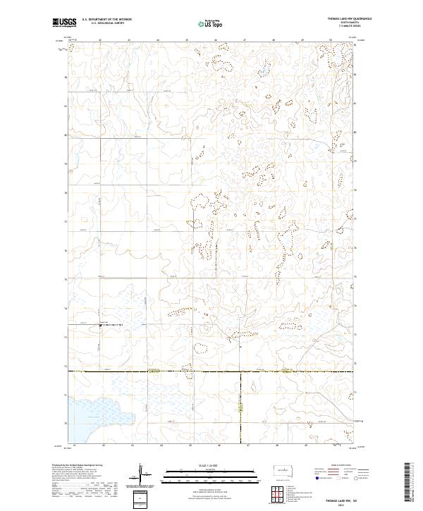
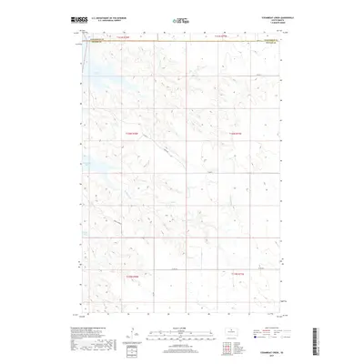
2021 Thomas Lake NW
Potter County, SD