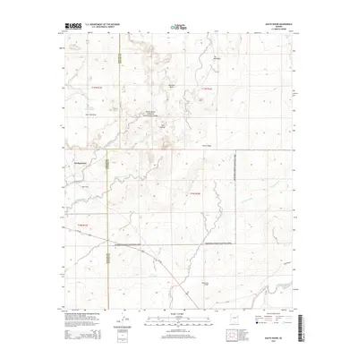
2014 Map of Agate House
USGS Topo · Published 2014About this map
Petrified Forest National Park dominates this desert landscape, revealing a high-desert terrain shaped by ancient geological processes and modern conservation. The survey details the high-elevation formations of the southern park region, including the prominent Flattops and the distinct peak of Marthas Butte. Near the administrative Headquarters, the map identifies the Agate House, a reconstructed Puebloan structure built from petrified wood that serves as a tangible link to the prehistoric inhabitants of the region.
Find a feature on this map
28 named features on this map. Tap any name to fly to it.
Don’t see what you’re looking for? This feature index may not catch every label — zoom into the map to look around manually.
Map Details
Editions of this 2014 Agate House Map
This is the sole edition of this map. No revisions or reprints were ever made.
Other maps of this area

1886 · St Johns
USGS Topo · 1:250,000

1892 · St Johns
USGS Topo · 1:250,000

1912 · Petrified Forest
USGS Topo · 1:62,500

1954 · Saint Johns
USGS Topo · 1:250,000

1955 · Petrified Forest
USGS Topo · 1:62,500

1955 · Adamana 1 SW
USGS Topo · 1:24,000

1955 · Adamana 3 NE
USGS Topo · 1:24,000

1955 · Adamana 4 NW
USGS Topo · 1:24,000

1955 · Hunt
USGS Topo · 1:62,500

1956 · Adamana 1 NW
USGS Topo · 1:24,000