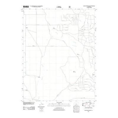
2011 Map of Agate Mountain
USGS Topo · Published 2011About this map
Agate Mountain and the high-altitude terrain of Horse Park define this portion of Park County, where the landscape is marked by a network of drainage systems and isolated settlements. The map highlights a series of historical family sites, including the Jacobs Homestead, Gibson Homestead, and Parrot Homestead, which are situated along the winding courses of Agate Creek and Little Agate Creek. To the west, Trump sits near the headwaters of Badger Creek, while the Nedrow Homestead and Walker Homestead occupy the southwestern reaches.
Find a feature on this map
51 named features on this map. Tap any name to fly to it.
Don’t see what you’re looking for? This feature index may not catch every label — zoom into the map to look around manually.
Map Details
Editions of this 2011 Agate Mountain Map
This is the sole edition of this map. No revisions or reprints were ever made.
Other maps of this area

1954 · Pueblo
USGS Topo · 1:250,000

1956 · Antero Reservoir
USGS Topo · 1:24,000

1956 · Antero Reservoir NE
USGS Topo · 1:24,000

1956 · Guffey NW
USGS Topo · 1:24,000

1956 · Cameron Mountain
USGS Topo · 1:62,500

1957 · Pueblo
USGS Topo · 1:250,000

1958 · Pueblo
USGS Topo · 1:250,000

1959 · Antero Reservoir
USGS Topo · 1:62,500

1959 · Black Mountain
USGS Topo · 1:62,500

1959 · Guffey
USGS Topo · 1:62,500