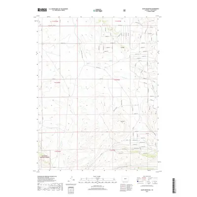
2019 Map of Agate Mountain
USGS Topo · Published 2019About this map
Trump sits as a lonely marker of settlement within this high-elevation landscape of the Rocky Mountains. The terrain is defined by the prominent peak of Agate Mtn and the deep drainage of Long Gulch, where several water sources like Birchfield Spring and Upper Pease Spring emerge. The road network reflects a history of ranching and land management, with routes such as Butterfield Rd and Chimapavi Trl cutting through the foothills. In the southwestern corner, the boundary of the San Isabel National Forest begins, transitioning the landscape from private ranch lands to protected federal wilderness. The complex web of seasonal drainages, including Agate Cr, Wagon Tongue Cr, and Badger Cr, illustrates the hydrological pattern of this arid mountain basin, where water remains the most critical factor for both livestock and local geography.
Find a feature on this map
79 named features on this map. Tap any name to fly to it.
Don’t see what you’re looking for? This feature index may not catch every label — zoom into the map to look around manually.
Map Details
Editions of this 2019 Agate Mountain Map
This is the sole edition of this map. No revisions or reprints were ever made.
Other maps of this area

1954 · Pueblo
USGS Topo · 1:250,000

1956 · Antero Reservoir
USGS Topo · 1:24,000

1956 · Antero Reservoir NE
USGS Topo · 1:24,000

1956 · Guffey NW
USGS Topo · 1:24,000

1956 · Cameron Mountain
USGS Topo · 1:62,500

1957 · Pueblo
USGS Topo · 1:250,000

1958 · Pueblo
USGS Topo · 1:250,000

1959 · Antero Reservoir
USGS Topo · 1:62,500

1959 · Black Mountain
USGS Topo · 1:62,500

1959 · Guffey
USGS Topo · 1:62,500