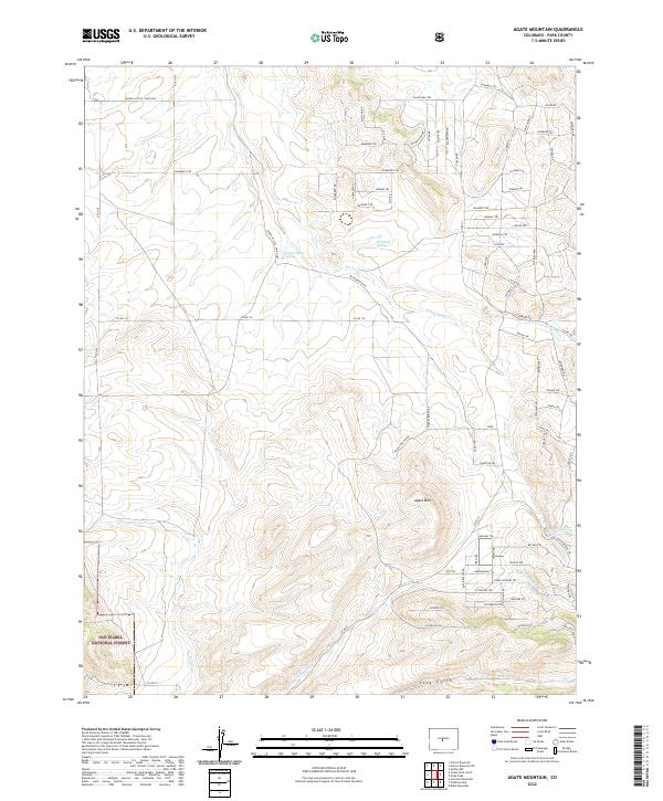
2022 Map of Agate Mountain
USGS Topo · Published 2022About this map
San Isabel National Forest occupies the southwestern corner of this Colorado landscape, where high-altitude drainage systems define the local geography. The area is characterized by a network of waterways including Agate Creek, Little Agate Creek, and Badger Creek, which carve through the terrain surrounding the prominent Agate Mountain. Seasonal water sources like Upper Pease Spring and Birchfield Spring suggest the importance of reliable water in this environment. The northern half of the map is notable for a dense grid of roads and trails with names that appear to honor indigenous heritage, such as Chimapaui Trl, Jumano Trl, and Lenape Trl. This concentration of infrastructure, contrasted with the Ranch Access 4WD Only routes in the northwest, highlights the varied accessibility of the high country during this era.
Find a feature on this map
77 named features on this map. Tap any name to fly to it.
Don’t see what you’re looking for? This feature index may not catch every label — zoom into the map to look around manually.
Map Details
Editions of this 2022 Agate Mountain Map
This is the sole edition of this map. No revisions or reprints were ever made.
Other maps of this area

1954 · Pueblo
USGS Topo · 1:250,000

1956 · Antero Reservoir
USGS Topo · 1:24,000

1956 · Antero Reservoir NE
USGS Topo · 1:24,000

1956 · Guffey NW
USGS Topo · 1:24,000

1956 · Cameron Mountain
USGS Topo · 1:62,500

1957 · Pueblo
USGS Topo · 1:250,000

1958 · Pueblo
USGS Topo · 1:250,000

1959 · Antero Reservoir
USGS Topo · 1:62,500

1959 · Black Mountain
USGS Topo · 1:62,500

1959 · Guffey
USGS Topo · 1:62,500