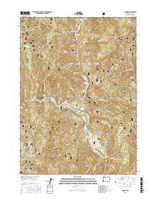
2017 Map of Agness
USGS Topo · Published 2017About this map
The confluence of the Rogue River and the Illinois River anchors this 2017 study of the Agness area within the Siskiyou National Forest. This region is defined by its dramatic river geography, featuring named whitewater hazards and landing points such as Twomile Rapids, Walker Bar, and Old Diggins Riffle. The settlement of Agness sits tucked against a bend in the Rogue, served by the winding Agness Rd, which provides a vital link through the mountainous terrain of the Klamath Mountains.
Find a feature on this map
76 named features on this map. Tap any name to fly to it.
Don’t see what you’re looking for? This feature index may not catch every label — zoom into the map to look around manually.
Map Details
Editions of this 2017 Agness Map
This is the sole edition of this map. No revisions or reprints were ever made.
Other maps of this area

1899 · Port Orford
USGS Topo · 1:125,000

1903 · Port Orford
USGS Topo · 1:125,000

1917 · Kerby
USGS Topo · 1:125,000

1918 · Kerby
USGS Topo · 1:125,000

1945 · Kerby
USGS Topo · 1:125,000

1954 · Coos Bay
USGS Topo · 1:250,000

1954 · Marial
USGS Topo · 1:62,500

1954 · Collier Butte
USGS Topo · 1:62,500

1954 · Agness
USGS Topo · 1:62,500

1954 · Pearsoll Peak
USGS Topo · 1:62,500