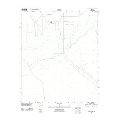
2011 Map of Agua Caliente
USGS Topo · Published 2011About this map
Agua Caliente sits at the foot of the Agua Caliente Mountains, overlooking a desert landscape defined by the winding course of the Gila River. This 2011 survey documents the small settlements of San Bernardino and Alpha within the broad expanse of the Hyder Valley. The terrain is marked by seasonal drainage systems, including Columbus Wash, Nottbusch Wash, and the extensive Sentinel Wash that cuts across the Sentinel Plain.
Find a feature on this map
15 named features on this map. Tap any name to fly to it.
Don’t see what you’re looking for? This feature index may not catch every label — zoom into the map to look around manually.
Map Details
Editions of this 2011 Agua Caliente Map
This is the sole edition of this map. No revisions or reprints were ever made.
Other maps of this area

1927 · Hyder
USGS Topo · 1:62,500

1929 · Aztec
USGS Topo · 1:62,500

1930 · Hyder
USGS Topo · 1:62,500

1942 · Vicksburg
USGS Topo · 1:250,000

1949 · Sentinel
USGS Topo · 1:62,500

1950 · Sentinel
USGS Topo · 1:62,500

1950 · Aztec
USGS Topo · 1:62,500

1951 · Dendora Valley
USGS Topo · 1:62,500

1953 · Ajo
USGS Topo · 1:250,000

1954 · Phoenix
USGS Topo · 1:250,000