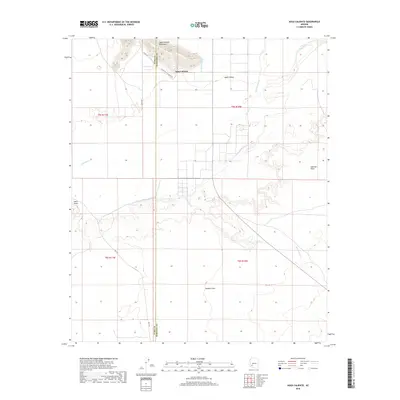
2018 Map of Agua Caliente
USGS Topo · Published 2018About this map
Agua Caliente sits at the northern edge of this landscape, nestled near the base of the Agua Caliente Mountains. The geography is defined by the broad, meandering course of the Gila River, which flows westward through a network of desert washes including Nottbusch Wash, Columbus Wash, and Sentinel Wash. To the south, the terrain opens into the expansive Stanwix Flats and Sentinel Plain, while Hyder Valley occupies the northern reaches. This 2018 survey by the U.S. Geological Survey also details the local road network, such as W Old Agua Caliente Rd and Ave 76 E, and the administrative boundary between Yuma and Maricopa counties. The map provides a clear record of the relationship between these desert watercourses and the surrounding valley floor.
Find a feature on this map
18 named features on this map. Tap any name to fly to it.
Don’t see what you’re looking for? This feature index may not catch every label — zoom into the map to look around manually.
Map Details
Editions of this 2018 Agua Caliente Map
This is the sole edition of this map. No revisions or reprints were ever made.
Other maps of this area

1927 · Hyder
USGS Topo · 1:62,500

1929 · Aztec
USGS Topo · 1:62,500

1930 · Hyder
USGS Topo · 1:62,500

1942 · Vicksburg
USGS Topo · 1:250,000

1949 · Sentinel
USGS Topo · 1:62,500

1950 · Sentinel
USGS Topo · 1:62,500

1950 · Aztec
USGS Topo · 1:62,500

1951 · Dendora Valley
USGS Topo · 1:62,500

1953 · Ajo
USGS Topo · 1:250,000

1954 · Phoenix
USGS Topo · 1:250,000