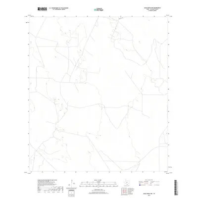
2019 Map of Agua Nueva NW
USGS Topo · Published 2019About this map
Jim Hogg County ranchlands dominate this 2019 survey, characterized by the sparse road networks typical of the South Texas brush country. The landscape is defined by subtle elevation changes and a web of private access tracks that traverse the arid terrain. La Lumbrita Rd provides the primary point of navigation in the northern portion of the quadrangle, serving as a rare named corridor in an area otherwise marked by unnamed cattle guards and ranch boundaries. The mapping of wetlands and subtle hydrology suggests the importance of seasonal water management in this cattle-raising region of Texas.
Find a feature on this map
1 named feature on this map. Tap any name to fly to it.
Don’t see what you’re looking for? This feature index may not catch every label — zoom into the map to look around manually.
Map Details
Editions of this 2019 Agua Nueva NW Map
This is the sole edition of this map. No revisions or reprints were ever made.
Other maps of this area

1938 · Agua Nueva
USGS Topo · 1:62,500

1938 · Cuevitas
USGS Topo · 1:62,500

1939 · Randado
USGS Topo · 1:62,500

1940 · Randado
USGS Topo · 1:62,500

1949 · Mc Allen
USGS Topo · 1:250,000

1954 · McAllen
USGS Topo · 1:250,000

1956 · Laredo
USGS Topo · 1:250,000

1957 · Mc Allen
USGS Topo · 1:250,000

1962 · McAllen
USGS Topo · 1:250,000
1972 · San Pablo Ranch
USGS Topo · 1:24,000