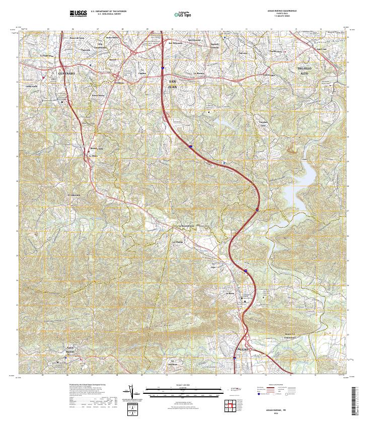
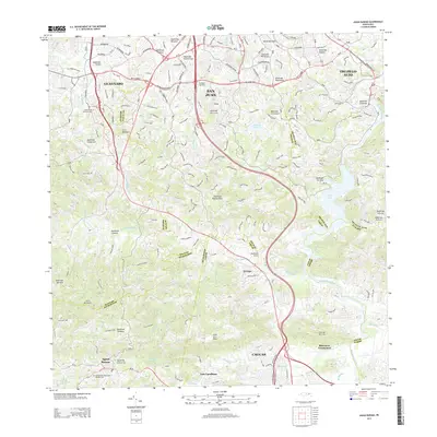
2024 Map of Aguas Buenas
USGS Topo · Published 2024About this map
High-density residential sectors of San Juan and Guaynabo transition into the steep hills of Aguas Buenas in this 2024 landscape. The map captures the meeting of metropolitan expansion and the hydrography of the Río Grande De Loíza basin, with major transport arteries like Ave Las Cumbres and Expreso Manuel Rivera Morales bisecting the northern neighborhoods. Cultural institutions are prominent, including the sprawling campus of the Universidad Interamericana de Puerto Rico - Recinto Metropolitano and multiple large memorial sites such as Borinquen Memorial Parks.
Find a feature on this map
82 named features on this map. Tap any name to fly to it.
Don’t see what you’re looking for? This feature index may not catch every label — zoom into the map to look around manually.
Map Details
Editions of this 2024 Aguas Buenas Map
This is the sole edition of this map. No revisions or reprints were ever made.
Historical Maps of Guaynabo Through Time
9 maps found
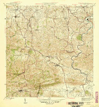
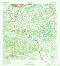
1946 Aguas Buenas
Aguas Buenas Municipio, PR

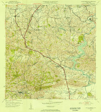
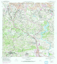
1952 Aguas Buenas
Aguas Buenas Municipio, PR
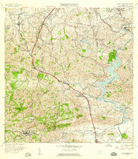
1955 Aguas Buenas
Aguas Buenas Municipio, PR
1957 Aguas Buenas
Aguas Buenas Municipio, PR
1964 Aguas Buenas
Aguas Buenas Municipio, PR
1969 Aguas Buenas
Aguas Buenas Municipio, PR
2013 Aguas Buenas
Aguas Buenas Municipio, PR
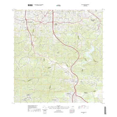
2018 Aguas Buenas
Aguas Buenas Municipio, PR
2024 Aguas Buenas
Aguas Buenas Municipio, PR
Featured Locations
- Sector Los Velázquez, San Juan
- Guaynabo, Guaynabo
- Sector Hernández, Guaynabo
- Trujillo Alto, Trujillo Alto
- Aguas Buenas, Aguas Buenas