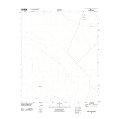
2011 Map of Aguila Mountains NE
USGS Topo · Published 2011About this map
The Aguila Mountains define the southern landscape of this arid Arizona region, rising as a prominent landform in an otherwise expansive desert floor. A series of ephemeral drainage systems, most notably Tenmile Wash, cut across the northeastern portion of the territory, tracing the path of seasonal water flow through the basin. These washes and drainage patterns are critical markers for understanding the local hydrology and the movement of water toward more significant regional basins. Localized water sources, identified by small-scale features such as Rock Tank and Natural Tank, highlight the specific points of historical and practical importance for travelers and ranching interests in this dry environment. The presence of these named tanks and the alignment of unnamed 4WD tracks and local roads suggest a landscape primarily utilized for navigation, remote resource access, and land management at the start of the 21st century.
Find a feature on this map
4 named features on this map. Tap any name to fly to it.
Don’t see what you’re looking for? This feature index may not catch every label — zoom into the map to look around manually.
Map Details
Editions of this 2011 Aguila Mountains NE Map
This is the sole edition of this map. No revisions or reprints were ever made.
Other maps of this area

1927 · Aguila Mountains
USGS Topo · 1:48,000

1929 · Aztec
USGS Topo · 1:62,500

1930 · Aguila Mountains
USGS Topo · 1:62,500

1949 · Sentinel
USGS Topo · 1:62,500

1950 · Sentinel
USGS Topo · 1:62,500

1950 · Aztec
USGS Topo · 1:62,500

1953 · Ajo
USGS Topo · 1:250,000

1957 · Ajo
USGS Topo · 1:250,000

1958 · Ajo
USGS Topo · 1:250,000

1962 · Ajo
USGS Topo · 1:250,000