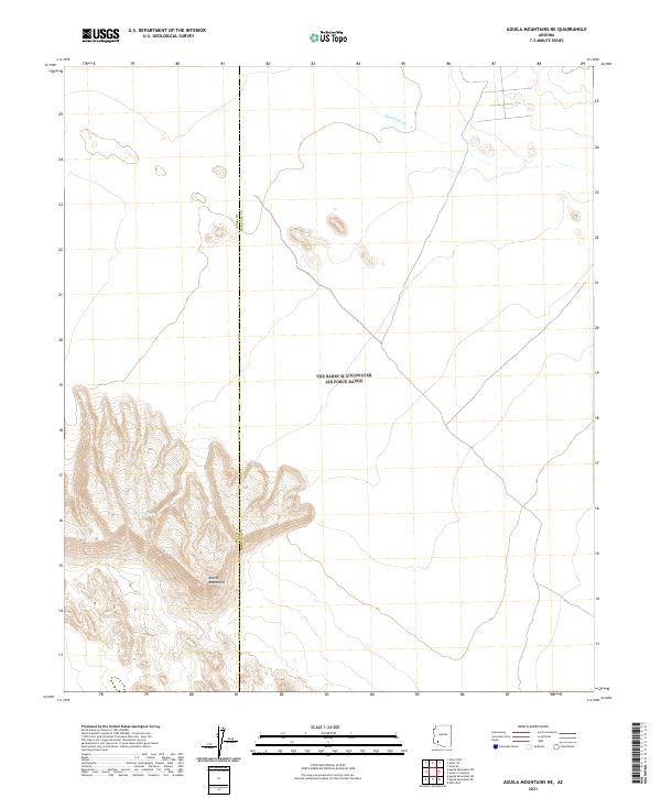
2021 Map of Aguila Mountains NE
USGS Topo · Published 2021About this map
Aguila Mountains define the southern landscape of this 2021 survey, where the rugged topography rises sharply from the desert floor. The area is marked by a prominent county boundary between Yuma Co and Maricopa Co, cutting vertically through the arid terrain. Hydrological features are sparse in this environment, represented primarily by the broad path of Tenmile Wash in the northeast and a specific catchment labeled as Natural Tank tucked within the mountain slopes. This map documents a largely undeveloped wilderness near the junction of four townships, including t8s r11w and t9s r10w, where the landscape is shaped more by natural drainage patterns and elevation than by human infrastructure.
Find a feature on this map
8 named features on this map. Tap any name to fly to it.
Don’t see what you’re looking for? This feature index may not catch every label — zoom into the map to look around manually.
Map Details
Editions of this 2021 Aguila Mountains NE Map
This is the sole edition of this map. No revisions or reprints were ever made.
Other maps of this area

1927 · Aguila Mountains
USGS Topo · 1:48,000

1929 · Aztec
USGS Topo · 1:62,500

1930 · Aguila Mountains
USGS Topo · 1:62,500

1949 · Sentinel
USGS Topo · 1:62,500

1950 · Sentinel
USGS Topo · 1:62,500

1950 · Aztec
USGS Topo · 1:62,500

1953 · Ajo
USGS Topo · 1:250,000

1957 · Ajo
USGS Topo · 1:250,000

1958 · Ajo
USGS Topo · 1:250,000

1962 · Ajo
USGS Topo · 1:250,000