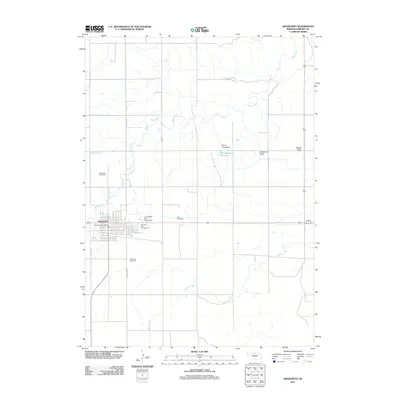
2011 Map of Ainsworth
USGS Topo · Published 2011About this map
Ainsworth serves as the focal point of this Brown County landscape, situated on the flat agricultural expanse of the Ainsworth Table. The 2011 survey reveals a community organized around its traditional grid, with the Ainsworth Post Office at its center and the East City Park Campground providing public space on the eastern edge. Local infrastructure is dominated by the cattle industry and water management, evidenced by the Ainsworth Feed Yards to the northwest and the Moody Group Reservoir held by the Moody Group Dam.
Find a feature on this map
17 named features on this map. Tap any name to fly to it.
Don’t see what you’re looking for? This feature index may not catch every label — zoom into the map to look around manually.
Map Details
Editions of this 2011 Ainsworth Map
This is the sole edition of this map. No revisions or reprints were ever made.
Other maps of this area

1949 · Dutch Creek
USGS Topo · 1:24,000

1950 · Bassett NW
USGS Topo · 1:24,000

1950 · Dutch Creek
USGS Topo · 1:24,000

1954 · Ainsworth NW
USGS Topo · 1:24,000

1954 · Ainsworth SW
USGS Topo · 1:24,000

1954 · Ainsworth
USGS Topo · 1:24,000

1954 · Long Pine
USGS Topo · 1:24,000

1955 · O'Neill
USGS Topo · 1:250,000

1959 · O'Neill
USGS Topo · 1:250,000

1969 · O'Neill
USGS Topo · 1:250,000