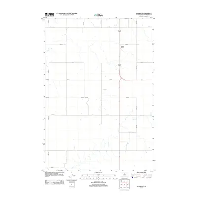
2012 Map of Akaska NE
USGS Topo · Published 2012About this map
The rolling plains of Walworth County are defined by a meticulous grid of rural roads and the winding path of Rieger Cr. This landscape near Selby reflects the enduring agricultural organization of the region, where section lines are strictly maintained by routes like 131st St and 306th Ave. Local history is anchored by the presence of the Selby Union Cem and Bangor Cem, which serve as quiet landmarks of the area's early settlement. Aviation history in this rural corner of South Dakota is represented by Beaman Airport, located just east of the main north-south highway corridor. The map provides a clear look at the intersection of modern transportation and the historic land divisions that have shaped the Dakota prairie.
Find a feature on this map
18 named features on this map. Tap any name to fly to it.
Don’t see what you’re looking for? This feature index may not catch every label — zoom into the map to look around manually.
Map Details
Editions of this 2012 Akaska NE Map
This is the sole edition of this map. No revisions or reprints were ever made.
Other maps of this area

1953 · McIntosh
USGS Topo · 1:250,000

1954 · Aberdeen
USGS Topo · 1:250,000

1956 · Aberdeen
USGS Topo · 1:250,000

1958 · McIntosh
USGS Topo · 1:250,000

1967 · Selby SW
USGS Topo · 1:24,000

1967 · Selby
USGS Topo · 1:24,000

1968 · Akaska NW
USGS Topo · 1:24,000

1968 · Akaska SW
USGS Topo · 1:24,000

1968 · Akaska
USGS Topo · 1:24,000

1968 · Akaska NE
USGS Topo · 1:24,000