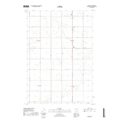
2017 Map of Akaska NE
USGS Topo · Published 2017About this map
Bangor Cem stands as a quiet marker of local history in this section of Walworth County, situated west of the major north-south corridor of 307th Ave. The landscape is defined by the section-line grid of the Public Land Survey System, where rural roads like 134th St and 138th St cross the open prairie. In the northern reaches, the Selby Memorial Gardens and Beaman Airport provide anchors near the regional hub of Selby. The subtle drainage of Rieger Cr meanders through the southern townships, illustrating the natural hydrology that influenced early settlement patterns and agricultural boundaries in this part of South Dakota.
Find a feature on this map
23 named features on this map. Tap any name to fly to it.
Don’t see what you’re looking for? This feature index may not catch every label — zoom into the map to look around manually.
Map Details
Editions of this 2017 Akaska NE Map
This is the sole edition of this map. No revisions or reprints were ever made.
Other maps of this area

1953 · McIntosh
USGS Topo · 1:250,000

1954 · Aberdeen
USGS Topo · 1:250,000

1956 · Aberdeen
USGS Topo · 1:250,000

1958 · McIntosh
USGS Topo · 1:250,000

1967 · Selby SW
USGS Topo · 1:24,000

1967 · Selby
USGS Topo · 1:24,000

1968 · Akaska NW
USGS Topo · 1:24,000

1968 · Akaska SW
USGS Topo · 1:24,000

1968 · Akaska
USGS Topo · 1:24,000

1968 · Akaska NE
USGS Topo · 1:24,000